Transport Functions
Rail
Road
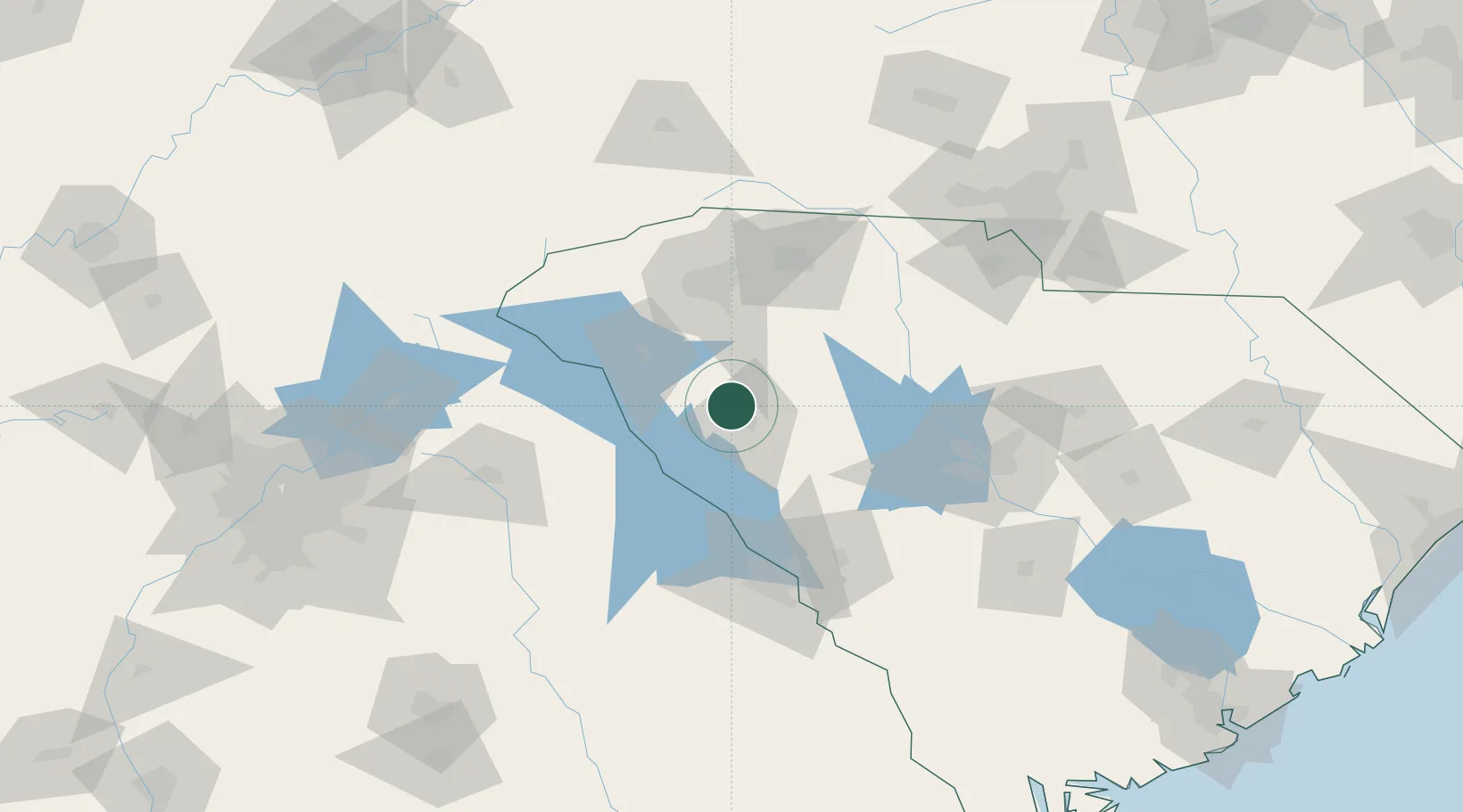
Hub Profile
Place type
Populated place
Region
South Carolina
Population
154
Time zone
America/New_York
Elevation
212 m
Location
Nearby Logistics Neighbours
Cities
- 1Ware Shoals11 km
- 2Donalds12 km
- 3Honea Path21 km
- 4Mountville27 km
- 5Belton34 km
Ports
- 1Beaufort253 km
- 2Port Royal258 km
- 3Savannah268 km
- 4Charleston273 km
- 5Georgetown292 km
Airports
Trade Zones
- 1FTZ No. 038 Spartanburg County67 km
- 2FTZ No. 127 West Columbia108 km
- 3FTZ No. 057 Mecklenburg County152 km
- 4FTZ No. 021 Dorchester County196 km
- 5FTZ No. 026 Atlanta206 km
DatabookThe Record of Consolidated Knowledge
United States beyond logistics?