UN/LOCODE hub · United States
USAHS
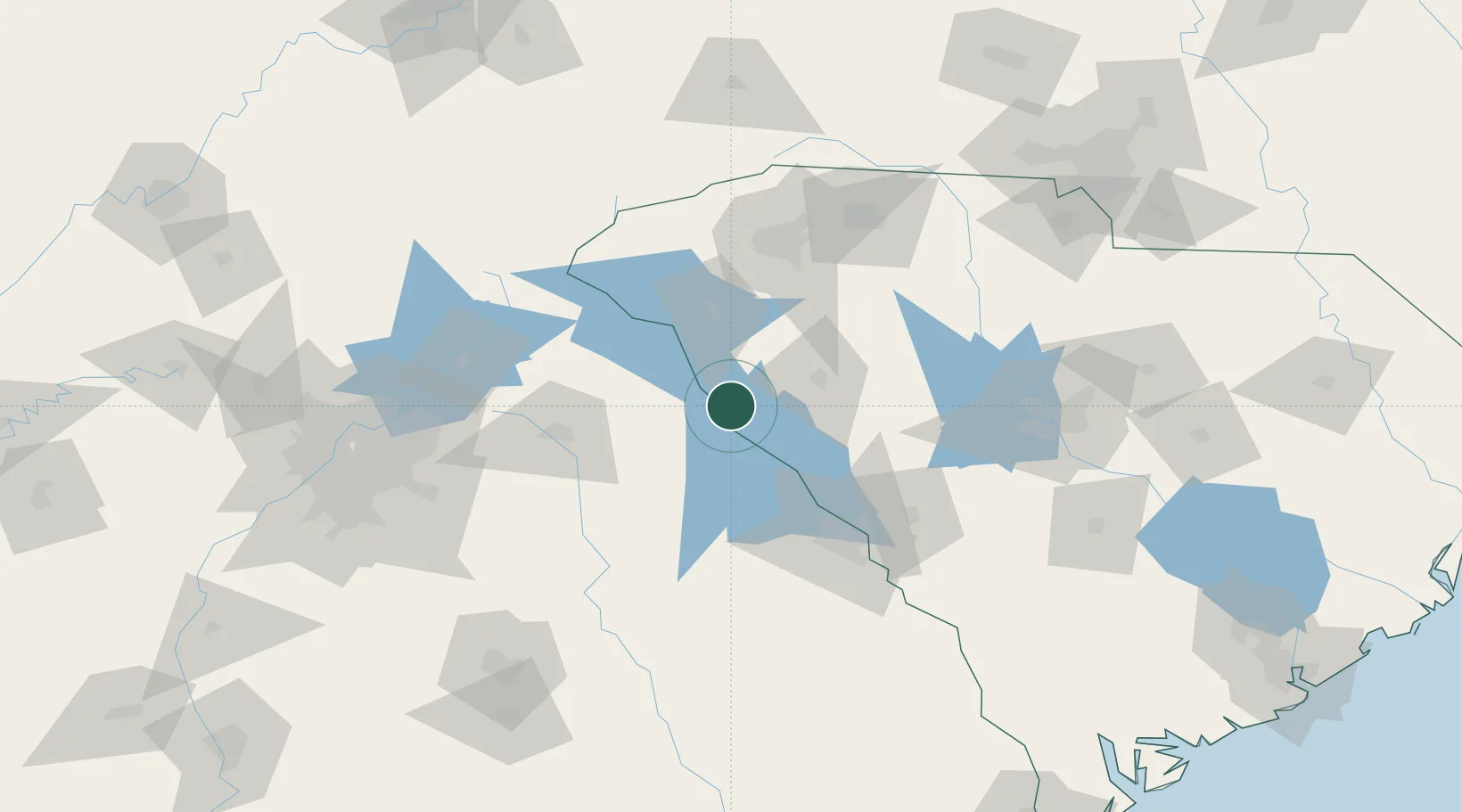
Calhoun Falls
34.0833°, -82.5833°
1,964
Population
3
Transport functions
Transport Functions
Rail
Road
Multimodal
Hub Profile
Place type
Populated place
Region
South Carolina
Population
1,964
Time zone
America/New_York
Elevation
161 m
Location
Nearby Logistics Neighbours
Cities
- 1Willington17 km
- 2Iva25 km
- 3Tignall28 km
- 4Starr33 km
- 5McCormick34 km
Ports
- 1Beaufort256 km
- 2Port Royal260 km
- 3Savannah263 km
- 4Charleston287 km
- 5Georgetown315 km
Airports
Trade Zones
- 1FTZ No. 038 Spartanburg County95 km
- 2FTZ No. 127 West Columbia135 km
- 3FTZ No. 026 Atlanta171 km
- 4FTZ No. 057 Mecklenburg County189 km
- 5FTZ No. 021 Dorchester County206 km
DatabookThe Record of Consolidated Knowledge
United States beyond logistics?