Transport Functions
Rail
Road
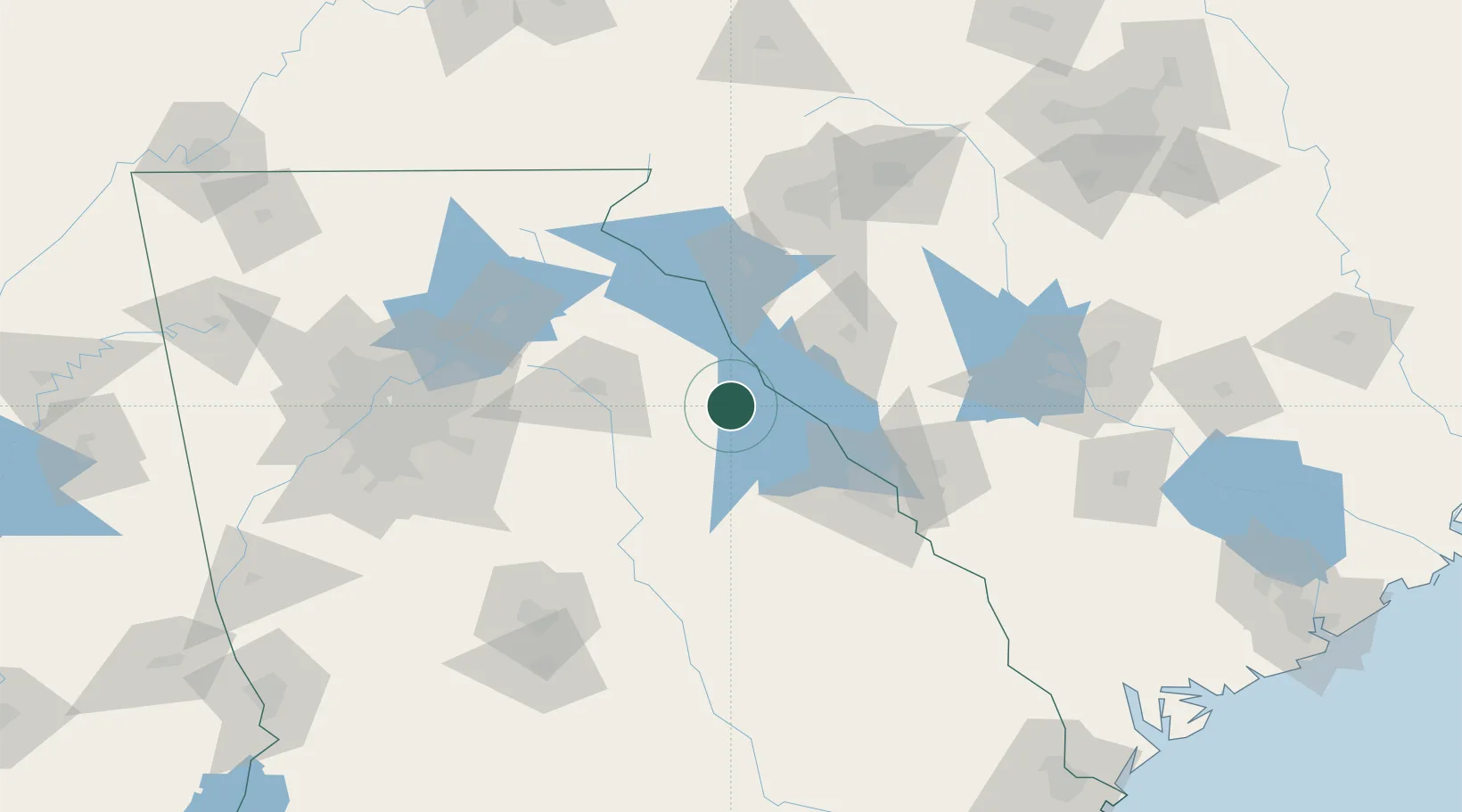
Hub Profile
Place type
Populated place
Region
Georgia
Population
513
Time zone
America/New_York
Elevation
197 m
Location
Nearby Logistics Neighbours
Cities
- 1Washington15 km
- 2Willington27 km
- 3Calhoun Falls28 km
- 4Crawfordville38 km
- 5Dewy Rose39 km
Ports
- 1Beaufort250 km
- 2Savannah251 km
- 3Port Royal254 km
- 4Charleston288 km
- 5Darien304 km
Airports
- 1Athens Ben Epps Airport55 km
- 2Anderson Regional Airport70 km
- 3Daniel Field78 km
- 4Augusta Regional At Bush Field90 km
- 5Greenville Downtown Airport115 km
Trade Zones
- 1FTZ No. 038 Spartanburg County122 km
- 2FTZ No. 127 West Columbia149 km
- 3FTZ No. 026 Atlanta154 km
- 4FTZ No. 021 Dorchester County207 km
- 5FTZ No. 057 Mecklenburg County216 km
DatabookThe Record of Consolidated Knowledge
United States beyond logistics?