Medium airport · United States
Anderson Regional AirportKAND
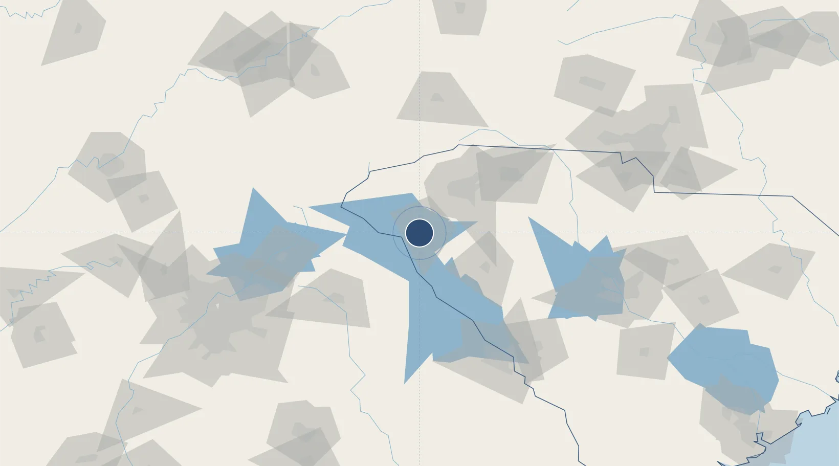
34.4946°, -82.7094°
6,002 ft
Longest runway
2
Runways
782 ft
Elevation
Runway & Layout

Radio Frequencies
ASOS
120.675 MHz
CTAF
123.6 MHz
A/D
118.8 MHz
GREER APP/DEP
RDO
122.2 MHz
UNIC
122.95 MHz
UNICOM
Navaids
AND NDB Anderson 230 kHz
ELW VORTAC Electric City 108.60 MHz
Runways · 2
| Runway | Dimensions | Surface | True heading | Lit |
|---|---|---|---|---|
| 05/23 | 6,002 × 149ft | Asphalt | 046° | ✓ |
| 17/35 | 4,996 × 149ft | Asphalt | 166° | — |
Airport Specifications
IATA code
AND
ICAO code
KAND
Airport class
Medium airport
Scheduled service
No
Runway surface
Asphalt
Served city
Anderson
Location
Nearby Logistics Neighbours
Airports
Cities
- 1Sandy Springs11 km
- 2Starr14 km
- 3Belton21 km
- 4Iva22 km
- 5Honea Path31 km
Ports
- 1Beaufort297 km
- 2Port Royal302 km
- 3Savannah308 km
- 4Charleston321 km
- 5Georgetown340 km
Trade Zones
- 1FTZ No. 038 Spartanburg County61 km
- 2FTZ No. 127 West Columbia156 km
- 3FTZ No. 057 Mecklenburg County171 km
- 4FTZ No. 026 Atlanta175 km
- 5FTZ No. 148 Knoxville216 km
DatabookThe Record of Consolidated Knowledge
United States beyond logistics?