Transport Functions
Multimodal
Hub Profile
Place type
Populated place
Region
Texas
Population
2,685
Time zone
America/Chicago
Elevation
149 m
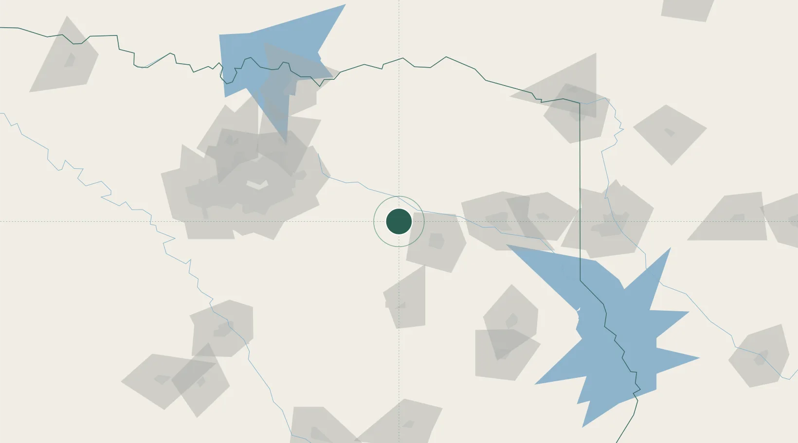
Location
Nearby Logistics Neighbours
Cities
- 1Canton24 km
- 2Wills Point40 km
- 3Emory40 km
- 4Hawkins41 km
- 5Mabank47 km
Airports
Trade Zones
- 1FTZ No. 269 Athens43 km
- 2FTZ No. 234 Gregg County67 km
- 3FTZ No. 113 Ellis County132 km
- 4FTZ No. 258 Bowie County139 km
- 5FTZ No. 297 Lufkin155 km
DatabookThe Record of Consolidated Knowledge
United States beyond logistics?