Transport Functions
Rail
Road
Hub Profile
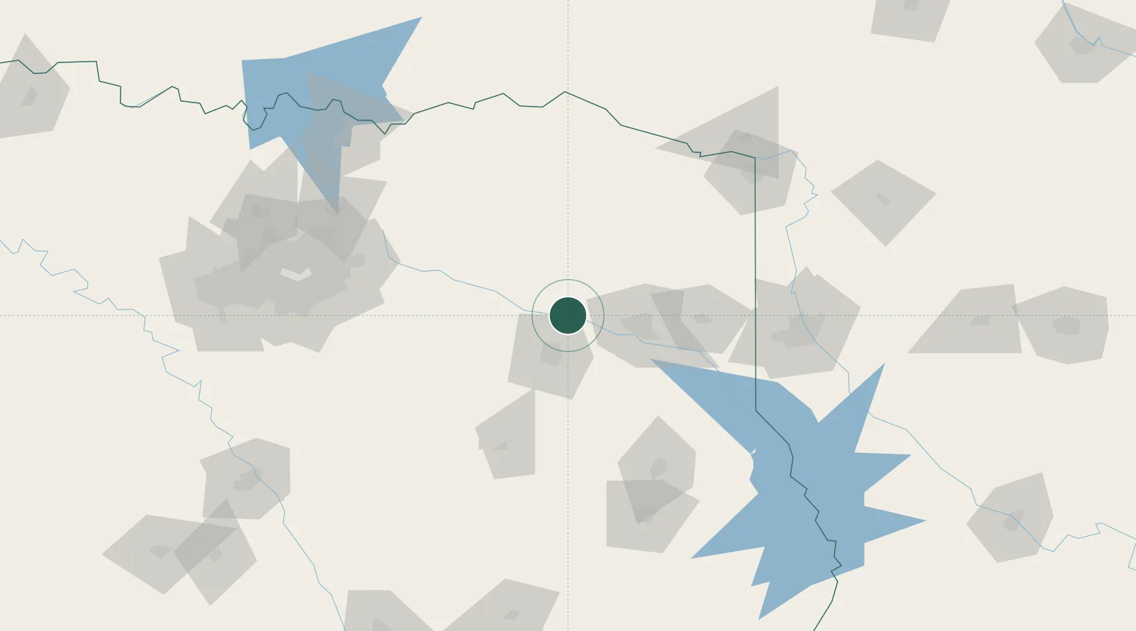
Place type
Populated place
Region
Texas
Population
1,291
Time zone
America/Chicago
Elevation
124 m
Location
Nearby Logistics Neighbours
Ports
- 1Beaumont298 km
- 2Port Neches311 km
- 3Orange311 km
- 4Houston315 km
- 5Deer Park315 km
Airports
- 1Tyler Pounds Regional Airport32 km
- 2East Texas Regional Airport51 km
- 3Van Zandt County Regional Airport74 km
- 4Cox Field119 km
- 5Shreveport Regional Airport130 km
Trade Zones
- 1FTZ No. 234 Gregg County27 km
- 2FTZ No. 269 Athens78 km
- 3FTZ No. 258 Bowie County111 km
- 4FTZ No. 145 Shreveport118 km
- 5FTZ No. 146 Lawrence County118 km
DatabookThe Record of Consolidated Knowledge
United States beyond logistics?