Transport Functions
Port
Road
Multimodal
Hub Profile
Place type
Provincial seat
Region
Texas
Population
1,253
Time zone
America/Chicago
Elevation
146 m
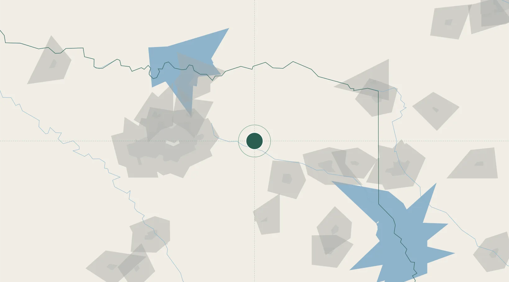
Location
Nearby Logistics Neighbours
Cities
- 1Wills Point30 km
- 2Canton37 km
- 3Van40 km
- 4Webster41 km
- 5Blackland, Rockwell58 km
Airports
- 1Van Zandt County Regional Airport30 km
- 2Tyler Pounds Regional Airport66 km
- 3Cox Field90 km
- 4Dallas Love Field103 km
- 5East Texas Regional Airport111 km
Trade Zones
- 1FTZ No. 269 Athens76 km
- 2FTZ No. 234 Gregg County87 km
- 3FTZ No. 258 Bowie County121 km
- 4FTZ No. 113 Ellis County134 km
- 5FTZ No. 227 Durant140 km
DatabookThe Record of Consolidated Knowledge
United States beyond logistics?