Transport Functions
Road
Multimodal
Hub Profile
Place type
Provincial seat
Region
Texas
Population
3,752
Time zone
America/Chicago
Elevation
154 m
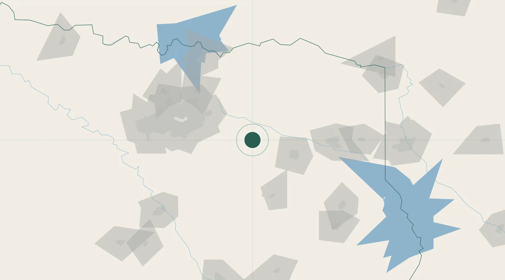
Location
Nearby Logistics Neighbours
Cities
- 1Wills Point20 km
- 2Van24 km
- 3Mabank29 km
- 4Emory37 km
- 5Kaufman39 km
Airports
Trade Zones
- 1FTZ No. 269 Athens39 km
- 2FTZ No. 234 Gregg County90 km
- 3FTZ No. 113 Ellis County110 km
- 4FTZ No. 258 Bowie County153 km
- 5FTZ No. 168 Dallas Fort Worth155 km
DatabookThe Record of Consolidated Knowledge
United States beyond logistics?