Medium airport · United States

East Texas Regional AirportKGGG
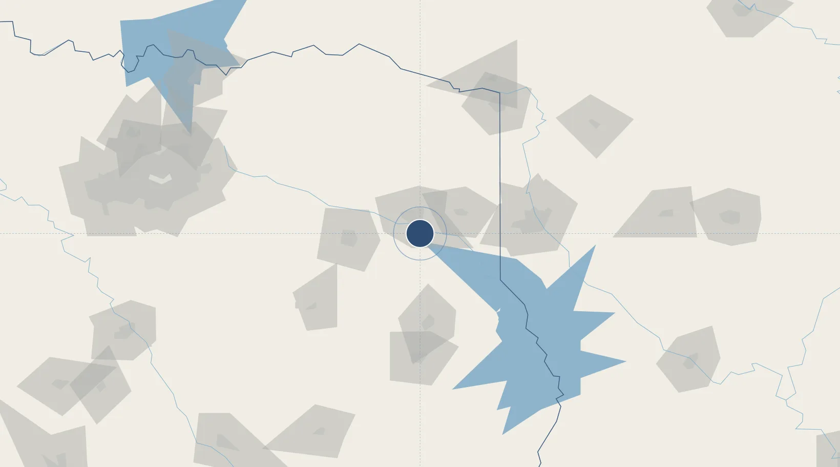
32.3840°, -94.7115°
10,000 ft
Longest runway
2
Runways
365 ft
Elevation

Runway & Layout

East Texas Regional Airport runway & taxiway layout
Runway & taxiway layout — OpenStreetMap (ODbL) / OurAirports

Radio Frequencies

ATIS
119.65 MHz
TWR
119.2 MHz
GND
121.6 MHz
CTAF
119.2 MHz
A/D
118.25 MHz
LONGVIEW APP/DEP
UNIC
122.95 MHz
UNICOM
OurAirports

Navaids

GG NDB Veels 410 kHz
OurAirports

Runways · 2

RunwayDimensions SurfaceTrue headingLit
13/31 10,000 × 150ft Asphalt 134°
18/36 6,110 × 150ft ASPH-G 179°
OurAirports

Airport Specifications

IATA code
GGG
OurAirports
ICAO code
KGGG
OurAirports
Airport class
Medium airport
OurAirports
Scheduled service
Yes
OurAirports
Runway surface
Asphalt
OurAirports
Served city
Longview
OurAirports

Location

Location of KGGG
Natural Earth 10m (public domain) · Texas · KGGG · 32.38, -94.71GoogleOSMYandex

Nearby Logistics Neighbours

Airports
  1. 1Tyler Pounds Regional Airport65 km
  2. 2Shreveport Regional Airport83 km
  3. 3Barksdale Air Force Base99 km
  4. 4Van Zandt County Regional Airport124 km
  5. 5Angelina County Airport128 km
Nearest neighbours — logibook spatial index (haversine) over the source coordinates
Cities
  1. 1Overton30 km
  2. 2Hawkins51 km
  3. 3Gary52 km
  4. 4Jefferson54 km
  5. 5Timpson62 km
Nearest neighbours — logibook spatial index (haversine) over the source coordinates
Ports
  1. 1Beaumont263 km
  2. 2Orange272 km
  3. 3Port Neches275 km
  4. 4Lake Charles278 km
  5. 5Port Arthur292 km
Nearest neighbours — logibook spatial index (haversine) over the source coordinates
Trade Zones
  1. 1FTZ No. 234 Gregg County25 km
  2. 2FTZ No. 145 Shreveport72 km
  3. 3FTZ No. 146 Lawrence County72 km
  4. 4FTZ No. 269 Athens113 km
  5. 5FTZ No. 297 Lufkin118 km
Nearest neighbours — logibook spatial index (haversine) over the source coordinates
DatabookThe Record of Consolidated Knowledge
United States beyond logistics?
Browse databook

All Sources

AirportsOurAirports
Public domain
Portsthe NGA World Port Index
Public domain (US gov)
LocationsUN/LOCODE
UN/LOCODE — free
Trade Zonesthe World Bank SEZ database
CC BY 4.0
Trade ZonesOpen Zone Map
CC BY
InfrastructureOpenStreetMap
ODbL 1.0
← United States airports