UN/LOCODE hub · United States
USILS
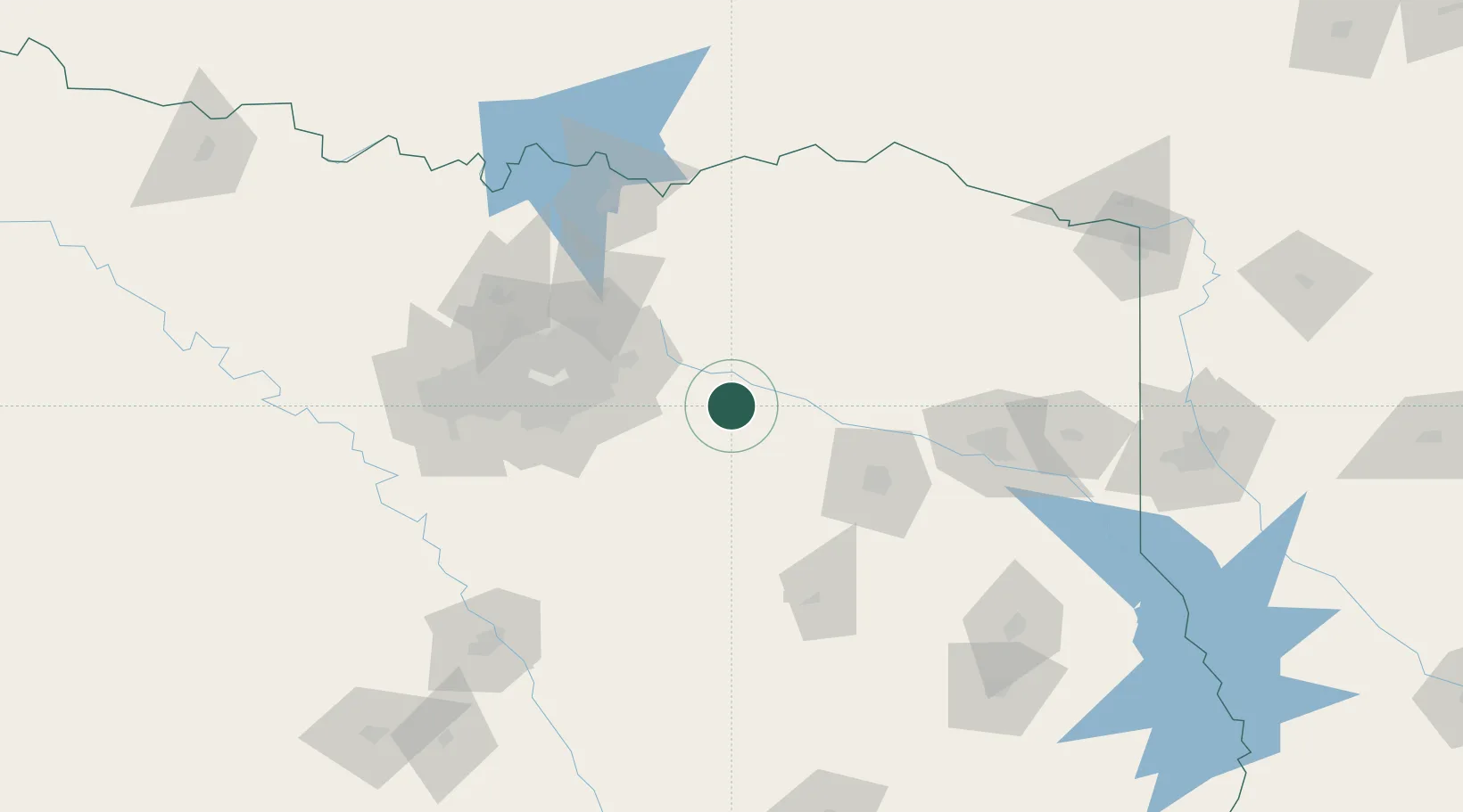
Wills Point
32.7000°, -96.0000°
3,547
Population
3
Transport functions
Transport Functions
Rail
Road
Multimodal
Hub Profile
Place type
Populated place
Region
Texas
Population
3,547
Time zone
America/Chicago
Elevation
162 m
Location
Nearby Logistics Neighbours
Airports
Trade Zones
- 1FTZ No. 269 Athens57 km
- 2FTZ No. 234 Gregg County103 km
- 3FTZ No. 113 Ellis County105 km
- 4FTZ No. 168 Dallas Fort Worth143 km
- 5FTZ No. 196 Fort Worth147 km
DatabookThe Record of Consolidated Knowledge
United States beyond logistics?