UN/LOCODE hub · United States
USMWB

Mabank

32.3667°, -96.1000°
3,309
Population
2
Transport functions

Transport Functions

Rail
Road
UN/LOCODE

Hub Profile

Place type
Populated place
GeoNames
Region
Texas
GeoNames
Population
3,309
GeoNames
Time zone
America/Chicago
GeoNames
Elevation
120 m
GeoNames

Location

Location of USMWB
Natural Earth 10m (public domain) · Texas · USMWB · 32.37, -96.10GoogleOSMYandex

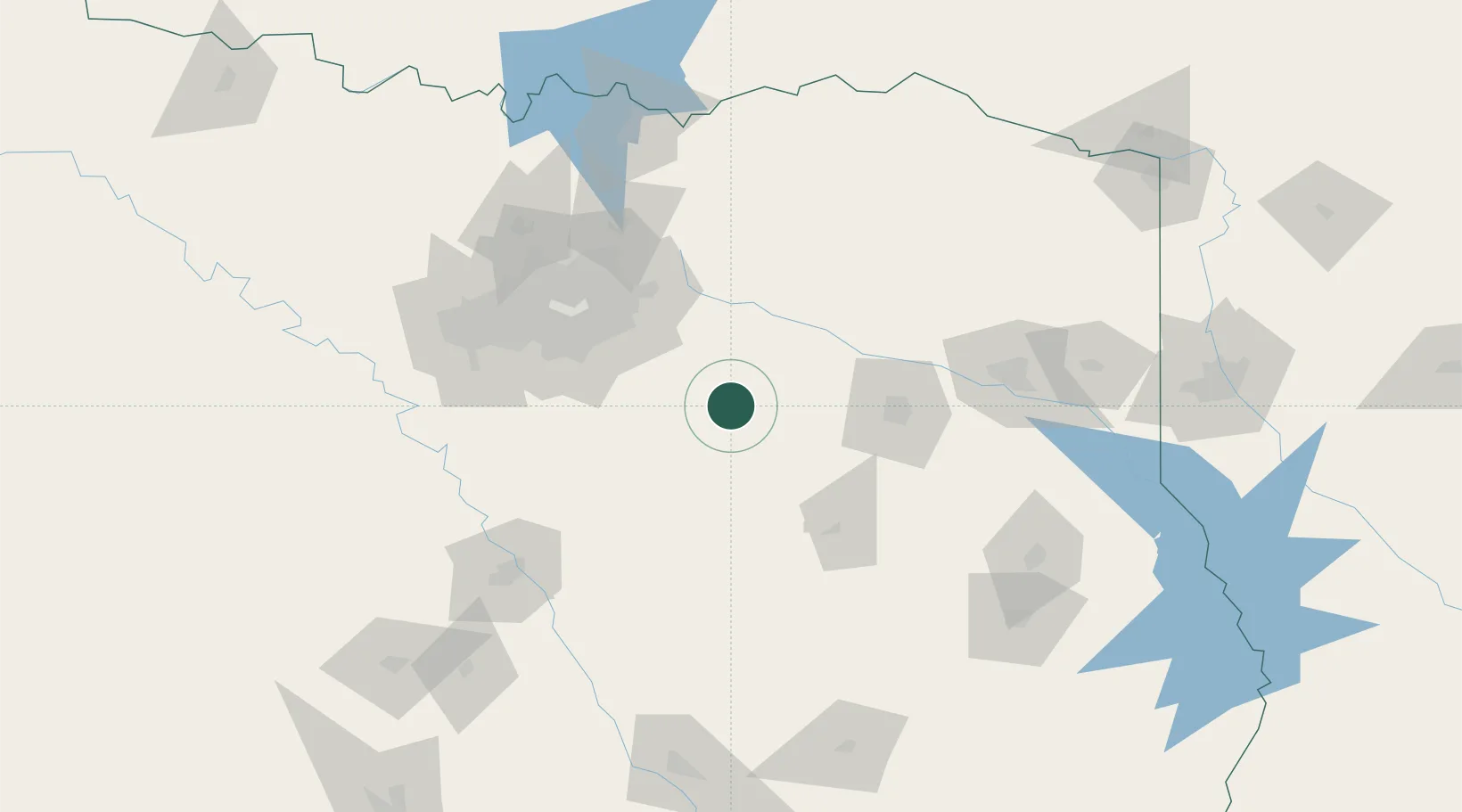
Nearby Logistics Neighbours

Cities
  1. 1Seven Points11 km
  2. 2Malakoff24 km
  3. 3Canton29 km
  4. 4Kaufman32 km
  5. 5Wills Point38 km
Nearest neighbours — logibook spatial index (haversine) over the source coordinates
Ports
  1. 1Deer Park300 km
  2. 2Houston301 km
  3. 3Pasadena306 km
  4. 4Baytown311 km
  5. 5Beaumont318 km
Nearest neighbours — logibook spatial index (haversine) over the source coordinates
Airports
  1. 1Van Zandt County Regional Airport37 km
  2. 2Tyler Pounds Regional Airport66 km
  3. 3Mid-Way Regional Airport77 km
  4. 4Dallas Love Field88 km
  5. 5Dallas Fort Worth International Airport106 km
Nearest neighbours — logibook spatial index (haversine) over the source coordinates
Trade Zones
  1. 1FTZ No. 269 Athens28 km
  2. 2FTZ No. 113 Ellis County86 km
  3. 3FTZ No. 234 Gregg County112 km
  4. 4FTZ No. 168 Dallas Fort Worth140 km
  5. 5FTZ No. 246 Waco142 km
Nearest neighbours — logibook spatial index (haversine) over the source coordinates
DatabookThe Record of Consolidated Knowledge
United States beyond logistics?
Browse databook

All Sources

LocationsUN/LOCODE
UN/LOCODE — free
LocationsGeoNames
CC BY 4.0
Portsthe NGA World Port Index
Public domain (US gov)
AirportsOurAirports
Public domain
Trade Zonesthe World Bank SEZ database
CC BY 4.0
Trade ZonesOpen Zone Map
CC BY
← United States locations