UN/LOCODE hub · United States
USODV

Cordova

41.6667°, -90.3167°
660
Population
2
Transport functions

Transport Functions

Road
Multimodal
UN/LOCODE

Hub Profile

Place type
Populated place
GeoNames
Region
Illinois
GeoNames
Population
660
GeoNames
Time zone
America/Chicago
GeoNames
Elevation
179 m
GeoNames

Location

Location of USODV
Natural Earth 10m (public domain) · Illinois · USODV · 41.67, -90.32GoogleOSMYandex

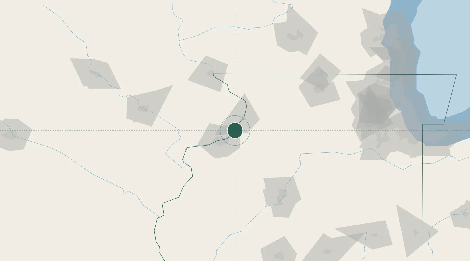
Nearby Logistics Neighbours

Cities
  1. 1Princeton1 km
  2. 2Silvis20 km
  3. 3East Clinton22 km
  4. 4Fulton26 km
  5. 5Geneseo29 km
Nearest neighbours — logibook spatial index (haversine) over the source coordinates
Ports
  1. 1Great Lakes217 km
  2. 2Waukegan221 km
  3. 3Wilmette223 km
  4. 4Chicago227 km
  5. 5Kenosha230 km
Nearest neighbours — logibook spatial index (haversine) over the source coordinates
Airports
  1. 1Quad City International Airport29 km
  2. 2Dubuque Regional Airport88 km
  3. 3Chicago Rockford International Airport117 km
  4. 4The Eastern Iowa Airport118 km
  5. 5Southeast Iowa Regional Airport119 km
Nearest neighbours — logibook spatial index (haversine) over the source coordinates
Trade Zones
  1. 1FTZ No. 271 Jo-Daviess and Carroll Counties72 km
  2. 2FTZ No. 176 Rockford113 km
  3. 3FTZ No. 055 Burlington116 km
  4. 4FTZ No. 114 Peoria124 km
  5. 5FTZ No. 175 Cedar Rapids128 km
Nearest neighbours — logibook spatial index (haversine) over the source coordinates
DatabookThe Record of Consolidated Knowledge
United States beyond logistics?
Browse databook

All Sources

LocationsUN/LOCODE
UN/LOCODE — free
LocationsGeoNames
CC BY 4.0
Portsthe NGA World Port Index
Public domain (US gov)
AirportsOurAirports
Public domain
Trade Zonesthe World Bank SEZ database
CC BY 4.0
Trade ZonesOpen Zone Map
CC BY
← United States locations