Transport Functions
Rail
Road
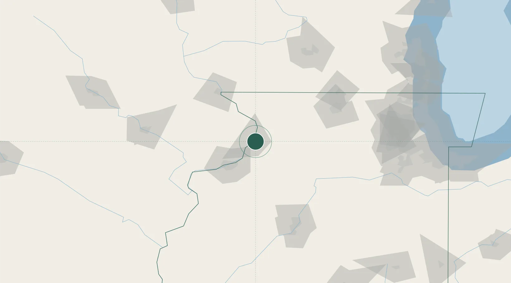
Hub Profile
Place type
Populated place
Region
Illinois
Time zone
America/Chicago
Elevation
179 m
Location
Nearby Logistics Neighbours
Cities
- 1Fulton4 km
- 2Cordova22 km
- 3Princeton23 km
- 4Milledgeville36 km
- 5Sterling40 km
Ports
- 1Great Lakes200 km
- 2Waukegan203 km
- 3Wilmette207 km
- 4Kenosha211 km
- 5Chicago213 km
Airports
Trade Zones
- 1FTZ No. 271 Jo-Daviess and Carroll Counties54 km
- 2FTZ No. 176 Rockford92 km
- 3FTZ No. 114 Peoria135 km
- 4FTZ No. 175 Cedar Rapids136 km
- 5FTZ No. 055 Burlington138 km
DatabookThe Record of Consolidated Knowledge
United States beyond logistics?