Transport Functions
Rail
Road
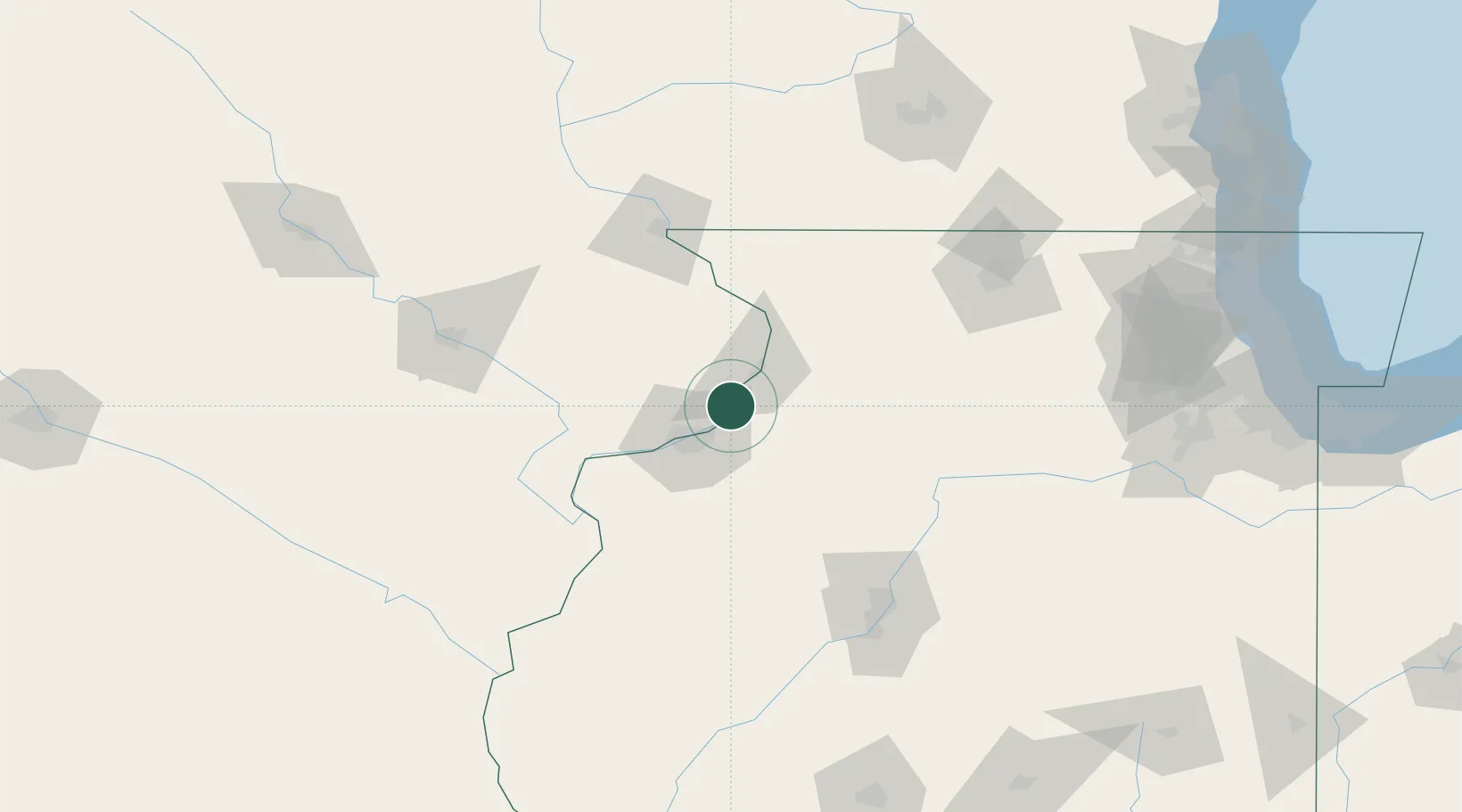
Hub Profile
Place type
Populated place
Region
Iowa
Population
929
Time zone
America/Chicago
Elevation
178 m
Location
Nearby Logistics Neighbours
Cities
- 1Cordova1 km
- 2Silvis19 km
- 3East Clinton23 km
- 4Fulton27 km
- 5Coal Valley29 km
Ports
- 1Great Lakes218 km
- 2Waukegan222 km
- 3Wilmette224 km
- 4Chicago228 km
- 5Kenosha231 km
Airports
Trade Zones
- 1FTZ No. 271 Jo-Daviess and Carroll Counties72 km
- 2FTZ No. 176 Rockford114 km
- 3FTZ No. 055 Burlington115 km
- 4FTZ No. 114 Peoria125 km
- 5FTZ No. 175 Cedar Rapids126 km
DatabookThe Record of Consolidated Knowledge
United States beyond logistics?