Medium airport · United States
General Wayne A. Downing Peoria International AirportKPIA
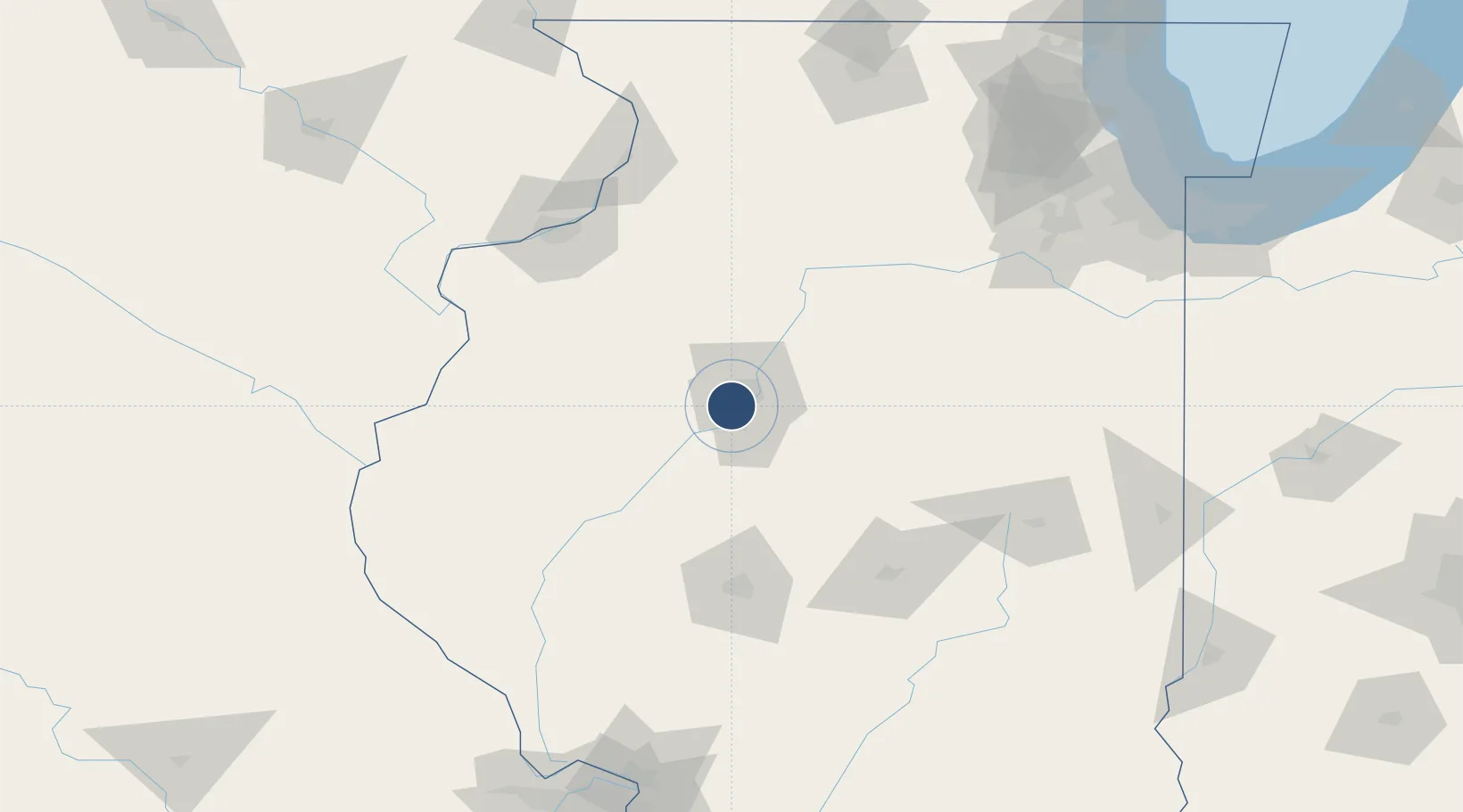
40.6638°, -89.6926°
10,104 ft
Longest runway
2
Runways
660 ft
Elevation
Runway & Layout

Radio Frequencies
ATIS
126.1 MHz
ASOS
126.1 MHz
TWR
119.1 MHz
PEORIA TWR
GND
121.85 MHz
A/D
124.675 MHz
PEORIA APP/DEP
OPS
32.3 MHz
ARNG OPS
POST
141.55 MHz
ANG OPS
RDO
122.35 MHz
KANKAKEE RDO
UNIC
122.95 MHz
UNICOM
Navaids
PI NDB Tungg 356 kHz
Runways · 2
| Runway | Dimensions | Surface | True heading | Lit |
|---|---|---|---|---|
| 13/31 | 10,104 × 150ft | Concrete | 127° | ✓ |
| 04/22 | 8,004 × 150ft | Asphalt | 038° | ✓ |
Airport Specifications
IATA code
PIA
ICAO code
KPIA
Airport class
Medium airport
Scheduled service
Yes
Runway surface
Concrete
Served city
Peoria
Location
Nearby Logistics Neighbours
Airports
Cities
- 1Edwards11 km
- 2Peoria Heights13 km
- 3Washington25 km
- 4Manito28 km
- 5Princeville30 km
Ports
- 1Calumet Harbor217 km
- 2Indiana Harbor220 km
- 3Chicago221 km
- 4Gary224 km
- 5Wilmette230 km
Trade Zones
- 1FTZ No. 114 Peoria9 km
- 2FTZ No. 245 Decatur105 km
- 3FTZ No. 055 Burlington120 km
- 4FTZ No. 176 Rockford181 km
- 5FTZ No. 271 Jo-Daviess and Carroll Counties189 km
DatabookThe Record of Consolidated Knowledge
United States beyond logistics?