Transport Functions
Multimodal
Hub Profile
Place type
Provincial seat
Region
Georgia
Population
69
Time zone
America/New_York
Elevation
150 m
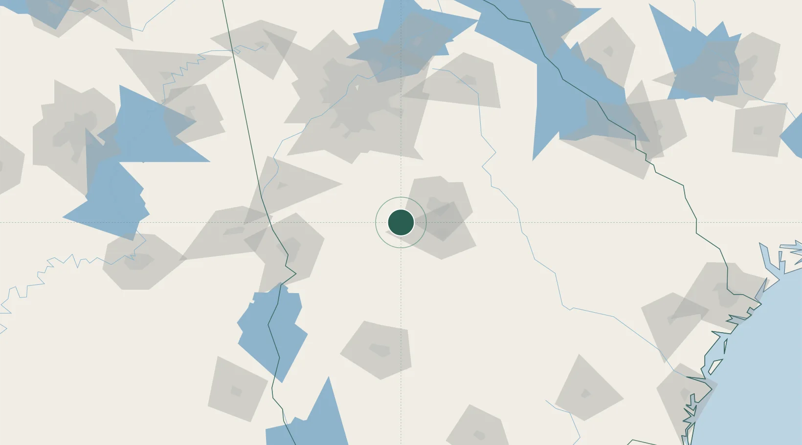
Location
Nearby Logistics Neighbours
Cities
- 1Roberta2 km
- 2Leslie18 km
- 3Bonaire22 km
- 4Marshallville30 km
- 5Butler30 km
Ports
- 1Savannah281 km
- 2Darien283 km
- 3Brunswick292 km
- 4Port Royal312 km
- 5Beaufort312 km
Airports
Trade Zones
- 1FTZ No. 026 Atlanta122 km
- 2FTZ No. 233 Dothan214 km
- 3FTZ No. 222 Montgomery222 km
- 4FTZ No. 098 Birmingham278 km
- 5FTZ No. 104 Savannah280 km
DatabookThe Record of Consolidated Knowledge
United States beyond logistics?