UN/LOCODE hub · United States
USBG9

Bonaire

32.5333°, -83.8833°
1
Transport functions

Transport Functions

Multimodal
UN/LOCODE

Hub Profile

Place type
Populated place
GeoNames
Region
Georgia
GeoNames
Time zone
America/New_York
GeoNames
Elevation
102 m
GeoNames

Location

Location of USBG9
Natural Earth 10m (public domain) · Georgia · USBG9 · 32.53, -83.88GoogleOSMYandex

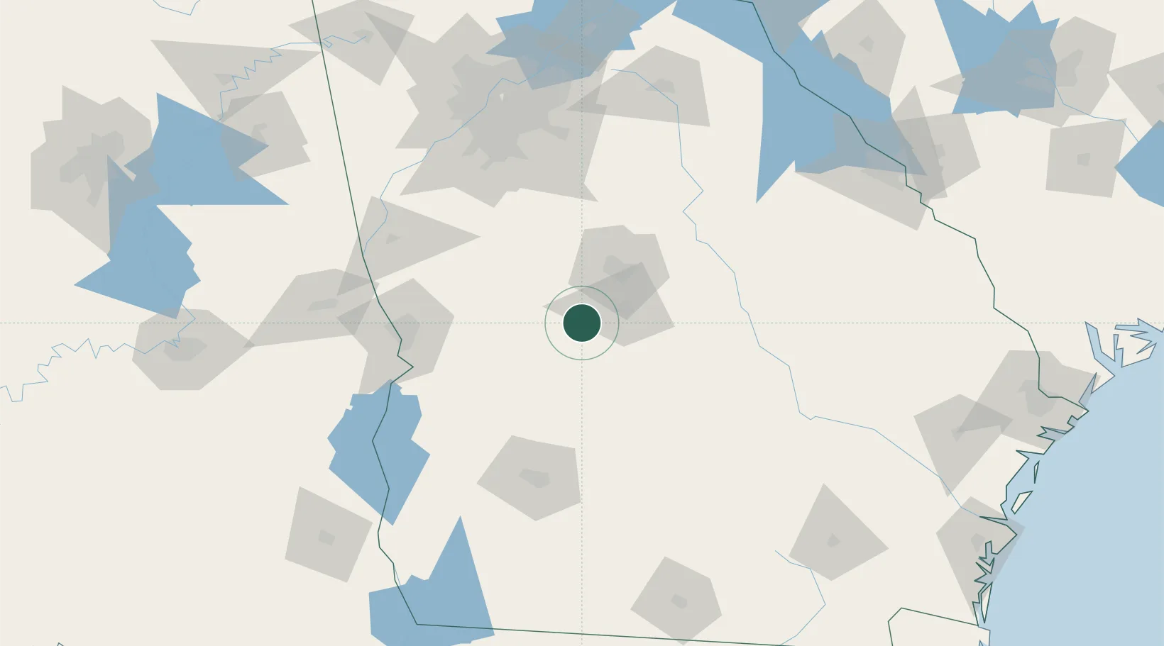
Nearby Logistics Neighbours

Cities
  1. 1Marshallville10 km
  2. 2Leslie21 km
  3. 3Knoxville22 km
  4. 4Roberta23 km
  5. 5Clinchfield27 km
Nearest neighbours — logibook spatial index (haversine) over the source coordinates
Ports
  1. 1Darien265 km
  2. 2Savannah268 km
  3. 3Brunswick273 km
  4. 4Port Royal301 km
  5. 5Beaufort302 km
Nearest neighbours — logibook spatial index (haversine) over the source coordinates
Airports
  1. 1Middle Georgia Regional Airport28 km
  2. 2Robins Air Force Base30 km
  3. 3Columbus Airport99 km
  4. 4Lawson Army Air Field106 km
  5. 5Southwest Georgia Regional Airport115 km
Nearest neighbours — logibook spatial index (haversine) over the source coordinates
Trade Zones
  1. 1FTZ No. 026 Atlanta145 km
  2. 2FTZ No. 233 Dothan206 km
  3. 3FTZ No. 222 Montgomery228 km
  4. 4FTZ No. 104 Savannah267 km
  5. 5FTZ No. 144 Brunswick272 km
Nearest neighbours — logibook spatial index (haversine) over the source coordinates
DatabookThe Record of Consolidated Knowledge
United States beyond logistics?
Browse databook

All Sources

LocationsUN/LOCODE
UN/LOCODE — free
Portsthe NGA World Port Index
Public domain (US gov)
AirportsOurAirports
Public domain
Trade Zonesthe World Bank SEZ database
CC BY 4.0
Trade ZonesOpen Zone Map
CC BY
← United States locations