Transport Functions
Road
Multimodal
Hub Profile
Place type
Populated place
Region
Georgia
Population
996
Time zone
America/New_York
Elevation
154 m
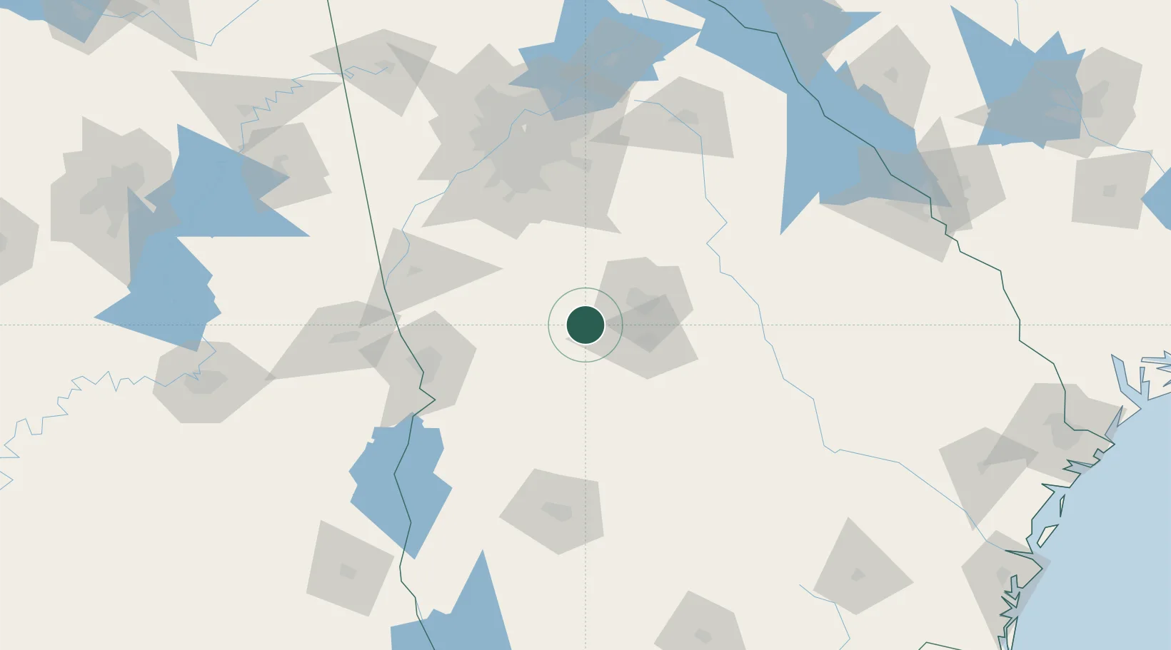
Location
Nearby Logistics Neighbours
Cities
- 1Knoxville2 km
- 2Leslie18 km
- 3Bonaire23 km
- 4Butler29 km
- 5Marshallville30 km
Ports
- 1Savannah283 km
- 2Darien285 km
- 3Brunswick293 km
- 4Port Royal313 km
- 5Beaufort314 km
Airports
Trade Zones
- 1FTZ No. 026 Atlanta122 km
- 2FTZ No. 233 Dothan213 km
- 3FTZ No. 222 Montgomery220 km
- 4FTZ No. 098 Birmingham277 km
- 5FTZ No. 104 Savannah282 km
DatabookThe Record of Consolidated Knowledge
United States beyond logistics?