UN/LOCODE hub · United States
USLSQ

Leslie

32.5833°, -84.1000°
388
Population
2
Transport functions

Transport Functions

Road
Multimodal
UN/LOCODE

Hub Profile

Place type
Populated place
GeoNames
Region
Georgia
GeoNames
Population
388
GeoNames
Time zone
America/New_York
GeoNames
Elevation
104 m
GeoNames

Location

Location of USLSQ
Natural Earth 10m (public domain) · Georgia · USLSQ · 32.58, -84.10GoogleOSMYandex

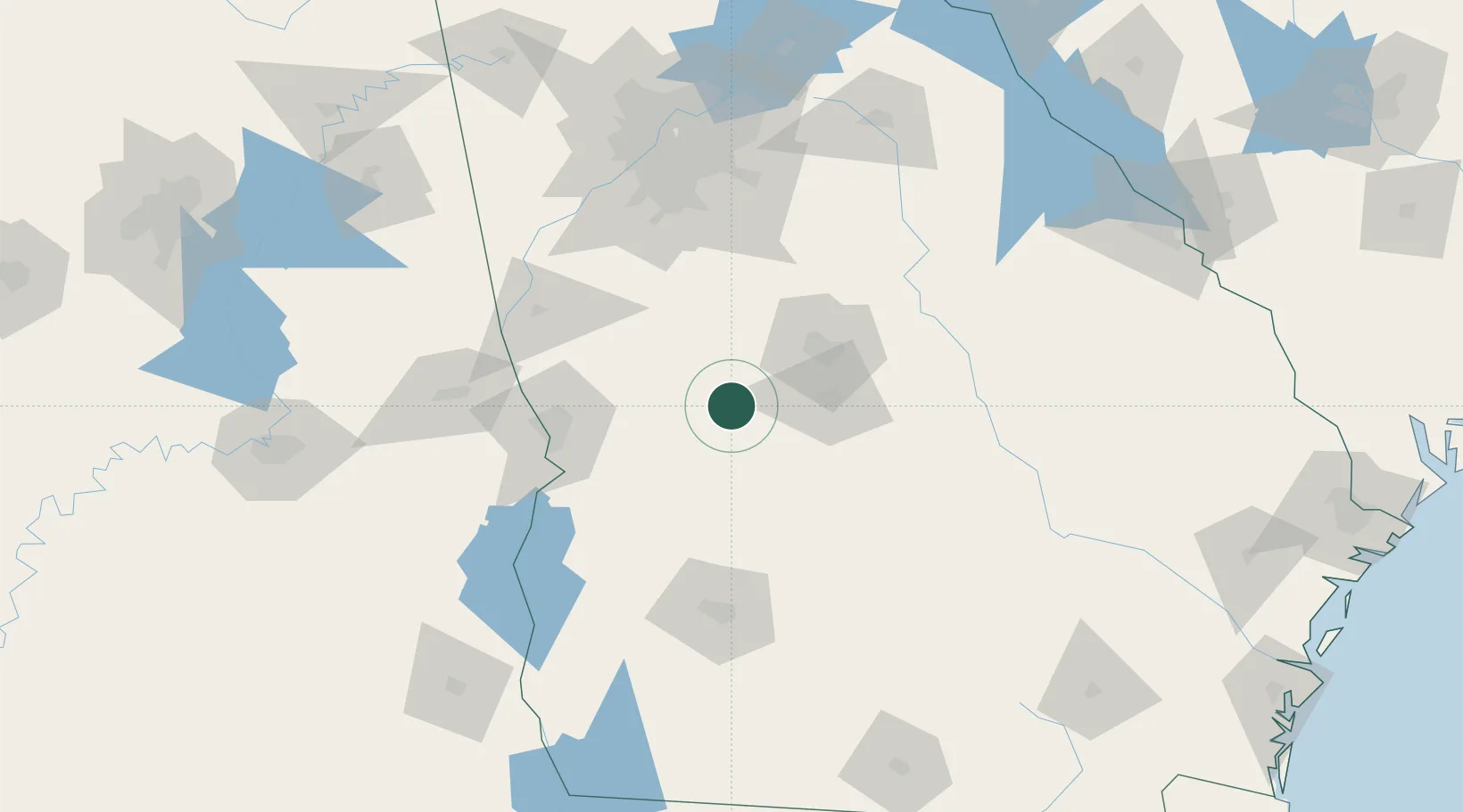
Nearby Logistics Neighbours

Cities
  1. 1Butler14 km
  2. 2Roberta18 km
  3. 3Knoxville18 km
  4. 4Bonaire21 km
  5. 5Marshallville22 km
Nearest neighbours — logibook spatial index (haversine) over the source coordinates
Ports
  1. 1Darien286 km
  2. 2Savannah289 km
  3. 3Brunswick293 km
  4. 4Carrabelle309 km
  5. 5Panama City310 km
Nearest neighbours — logibook spatial index (haversine) over the source coordinates
Airports
  1. 1Middle Georgia Regional Airport44 km
  2. 2Robins Air Force Base48 km
  3. 3Columbus Airport79 km
  4. 4Lawson Army Air Field88 km
  5. 5Southwest Georgia Regional Airport117 km
Nearest neighbours — logibook spatial index (haversine) over the source coordinates
Trade Zones
  1. 1FTZ No. 026 Atlanta134 km
  2. 2FTZ No. 233 Dothan196 km
  3. 3FTZ No. 222 Montgomery209 km
  4. 4FTZ No. 098 Birmingham273 km
  5. 5FTZ No. 104 Savannah288 km
Nearest neighbours — logibook spatial index (haversine) over the source coordinates
DatabookThe Record of Consolidated Knowledge
United States beyond logistics?
Browse databook

All Sources

LocationsUN/LOCODE
UN/LOCODE — free
LocationsGeoNames
CC BY 4.0
Portsthe NGA World Port Index
Public domain (US gov)
AirportsOurAirports
Public domain
Trade Zonesthe World Bank SEZ database
CC BY 4.0
Trade ZonesOpen Zone Map
CC BY
← United States locations