Large airport · United States
Hartsfield Jackson Atlanta International AirportKATL
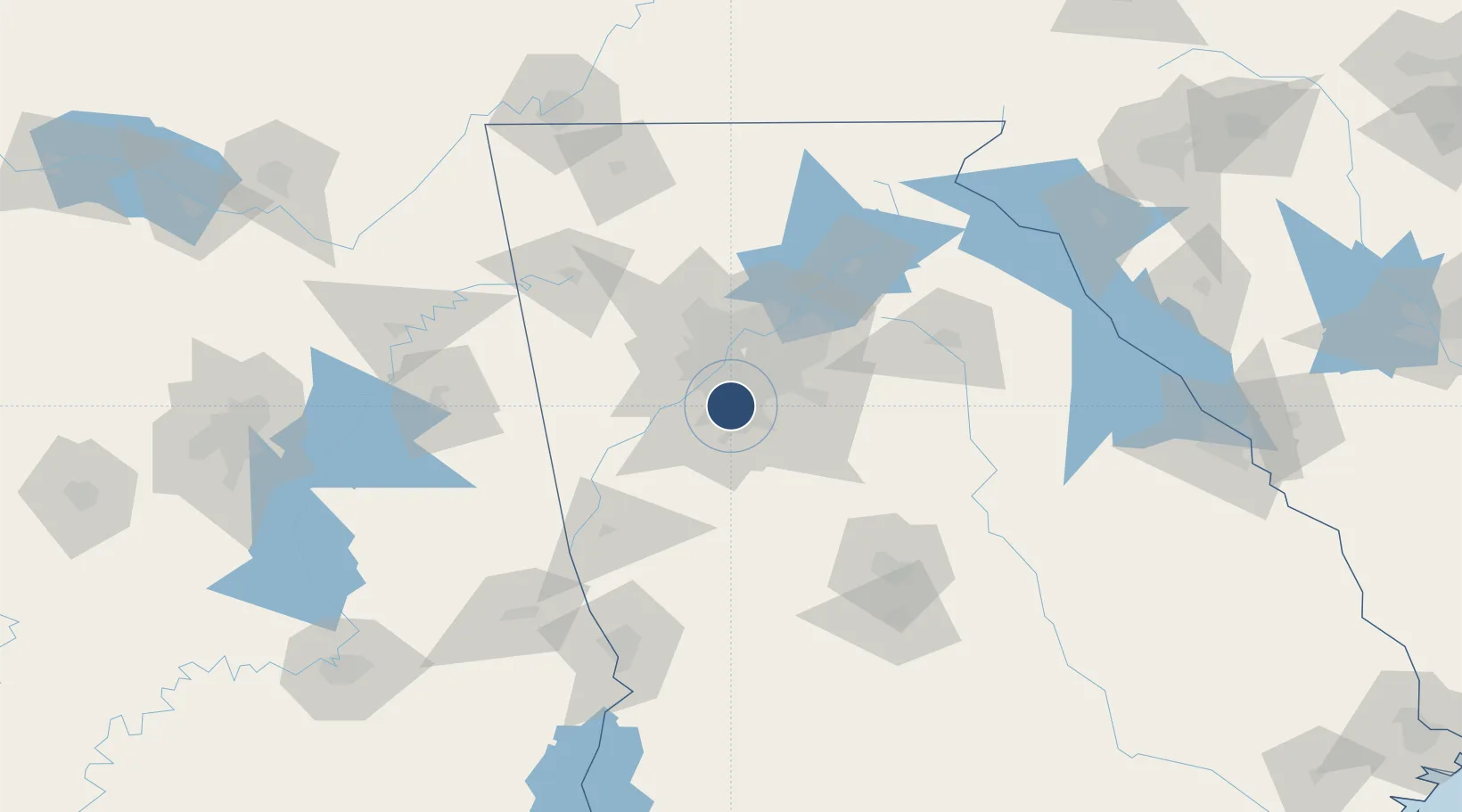
33.6367°, -84.4281°
12,390 ft
Longest runway
5
Runways
1,026 ft
Elevation
Runway & Layout

Radio Frequencies
ATIS
119.65 MHz
TWR
119.1 MHz
ATLANTA TWR
GND
121.65 MHz
CLD
118.1 MHz
CLNC DEL
APP
127.9 MHz
ATLANTA APP (090°-269°)
APP
128 MHz
ATLANTA APPROACH
DEP
121.225 MHz
ATLANTA DEP (RWAY 10-28)
DEP
125.65 MHz
ATLANTA DEP (RWAY 09-27)
DEP
133.475 MHz
ATLANTA DEP (RWY 08-26)
RDO
116.9 MHz
MACON RDO
SFA
30.697 MHz
UNIC
122.95 MHz
UNICOM
Navaids
AT NDB Catta 375 kHz
ATL VORTAC Atlanta 116.90 MHz
BR NDB Redan 266 kHz
Runways · 5
| Runway | Dimensions | Surface | True heading | Lit |
|---|---|---|---|---|
| 09L/27R | 12,390 × 150ft | Concrete | 090° | ✓ |
| 08R/26L | 9,999 × 150ft | Concrete | 090° | ✓ |
| 08L/26R | 9,000 × 150ft | Concrete | 090° | ✓ |
| 09R/27L | 9,000 × 150ft | Concrete | 090° | ✓ |
| 10/28 | 9,000 × 150ft | Concrete | 090° | ✓ |
Airport Specifications
IATA code
ATL
ICAO code
KATL
Airport class
Large airport
Scheduled service
Yes
Runway surface
Concrete
Served city
Atlanta
Location
Nearby Logistics Neighbours
Airports
Ports
- 1Savannah357 km
- 2Beaufort375 km
- 3Port Royal377 km
- 4Darien378 km
- 5Brunswick390 km
Trade Zones
- 1FTZ No. 026 Atlanta14 km
- 2FTZ No. 134 Chattanooga185 km
- 3FTZ No. 098 Birmingham221 km
- 4FTZ No. 222 Montgomery225 km
- 5FTZ No. 083 Huntsville243 km
DatabookThe Record of Consolidated Knowledge
United States beyond logistics?