Transport Functions
Rail
Road
Multimodal
Hub Profile
Place type
Provincial seat
Region
Georgia
Population
1,885
Time zone
America/New_York
Elevation
196 m
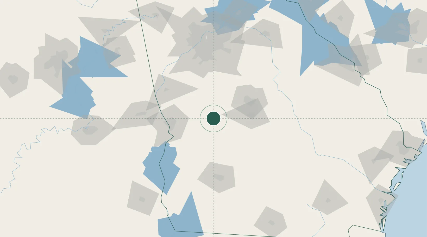
Location
Nearby Logistics Neighbours
Cities
- 1Leslie14 km
- 2Junction City21 km
- 3Roberta29 km
- 4Knoxville30 km
- 5Marshallville32 km
Ports
- 1Darien297 km
- 2Panama City302 km
- 3Savannah302 km
- 4Brunswick304 km
- 5Carrabelle305 km
Airports
- 1Middle Georgia Regional Airport58 km
- 2Robins Air Force Base62 km
- 3Columbus Airport65 km
- 4Lawson Army Air Field74 km
- 5Southwest Georgia Regional Airport115 km
Trade Zones
- 1FTZ No. 026 Atlanta134 km
- 2FTZ No. 233 Dothan186 km
- 3FTZ No. 222 Montgomery195 km
- 4FTZ No. 098 Birmingham261 km
- 5FTZ No. 065 Panama City299 km
DatabookThe Record of Consolidated Knowledge
United States beyond logistics?