UN/LOCODE hub · United States
USM22
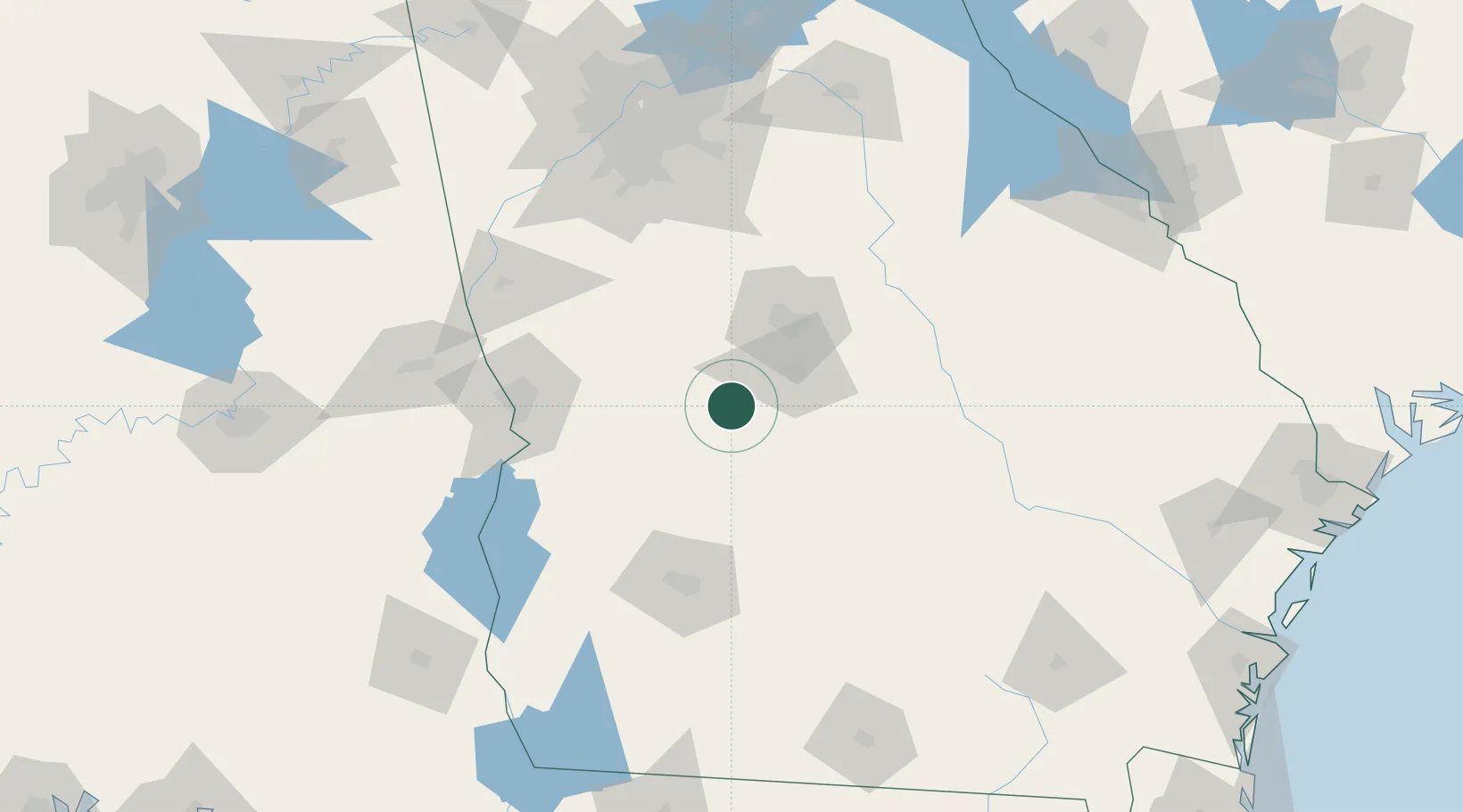
Marshallville
32.4500°, -83.9333°
1,333
Population
2
Transport functions
Transport Functions
Rail
Road
Hub Profile
Place type
Populated place
Region
Georgia
Population
1,333
Time zone
America/New_York
Elevation
149 m
Location
Nearby Logistics Neighbours
Cities
- 1Bonaire10 km
- 2Leslie22 km
- 3Clinchfield28 km
- 4Knoxville30 km
- 5Roberta30 km
Ports
- 1Darien265 km
- 2Savannah271 km
- 3Brunswick272 km
- 4Carrabelle297 km
- 5Panama City305 km
Airports
- 1Middle Georgia Regional Airport38 km
- 2Robins Air Force Base38 km
- 3Columbus Airport95 km
- 4Lawson Army Air Field100 km
- 5Southwest Georgia Regional Airport105 km
Trade Zones
- 1FTZ No. 026 Atlanta152 km
- 2FTZ No. 233 Dothan196 km
- 3FTZ No. 222 Montgomery223 km
- 4FTZ No. 104 Savannah270 km
- 5FTZ No. 144 Brunswick271 km
DatabookThe Record of Consolidated Knowledge
United States beyond logistics?