UN/LOCODE hub · United States
USMG9
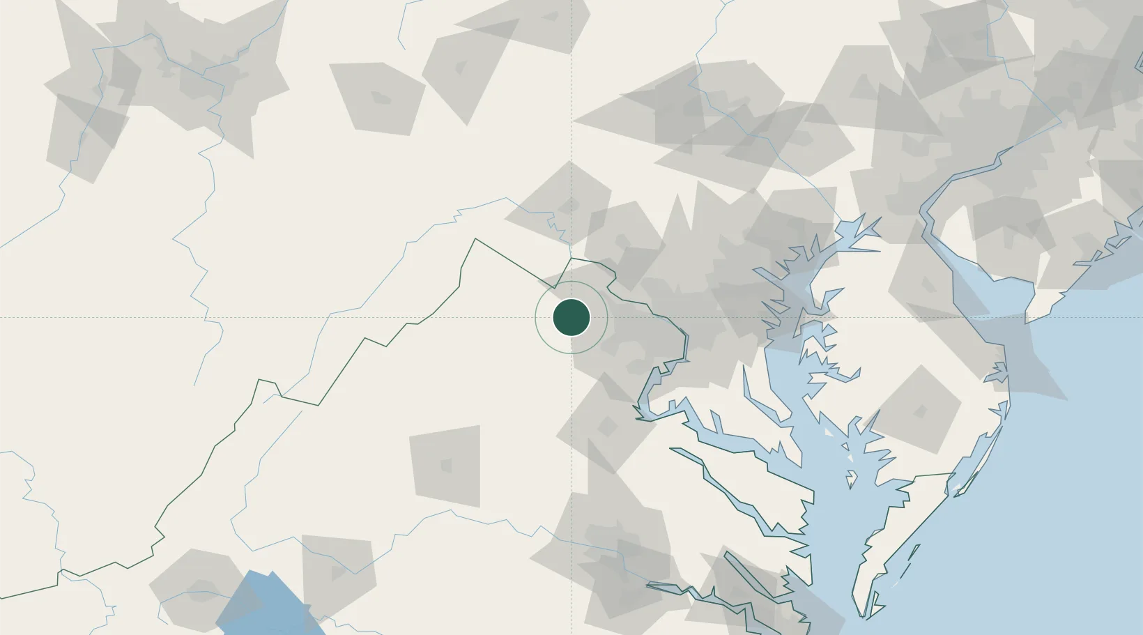
Middleburg
38.9667°, -77.7333°
807
Population
1
Transport functions
Transport Functions
Multimodal
Hub Profile
Place type
Populated place
Region
Virginia
Population
807
Time zone
America/New_York
Elevation
148 m
Location
Nearby Logistics Neighbours
Cities
- 1Aldie9 km
- 2Purcellville19 km
- 3Hamilton19 km
- 4Gainesville23 km
- 5Marshall25 km
Ports
- 1Washington D.C.62 km
- 2Alexandria63 km
- 3Fredericksburg78 km
- 4Baltimore105 km
- 5Annapolis108 km
Airports
Trade Zones
DatabookThe Record of Consolidated Knowledge
United States beyond logistics?