Transport Functions
Multimodal
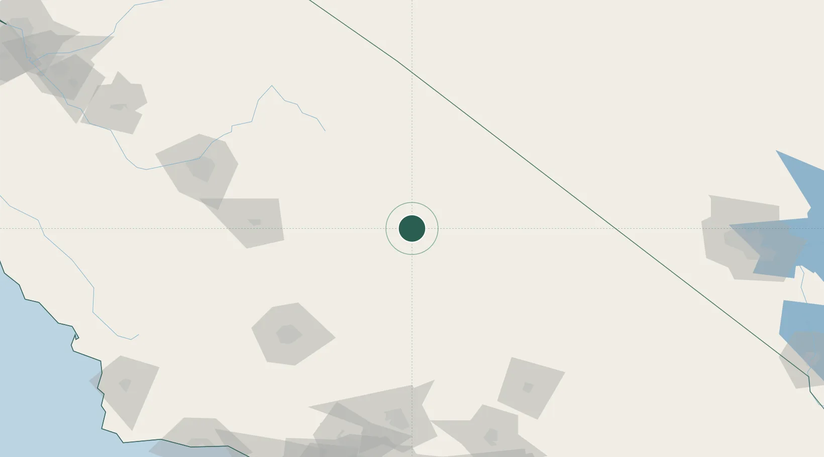
Hub Profile
Place type
Populated place
Region
California
Population
192
Time zone
America/Los_Angeles
Elevation
1,115 m
Location
Nearby Logistics Neighbours
Cities
- 1Little Lake38 km
- 2Searles93 km
- 3Terra Bella99 km
- 4Ducor102 km
- 5Farmersville108 km
Ports
- 1Ventura249 km
- 2Carpinteria251 km
- 3Santa Barbara256 km
- 4Port Hueneme259 km
- 5El Segundo264 km
Airports
Trade Zones
- 1FTZ No. 276 Kern County135 km
- 2FTZ No. 089 Clark County176 km
- 3FTZ No. 170 Clark County176 km
- 4FTZ No. 191 Palmdale188 km
- 5FTZ No. 243 Victorville195 km
DatabookThe Record of Consolidated Knowledge
United States beyond logistics?