Transport Functions
Rail
Road
Multimodal
Hub Profile
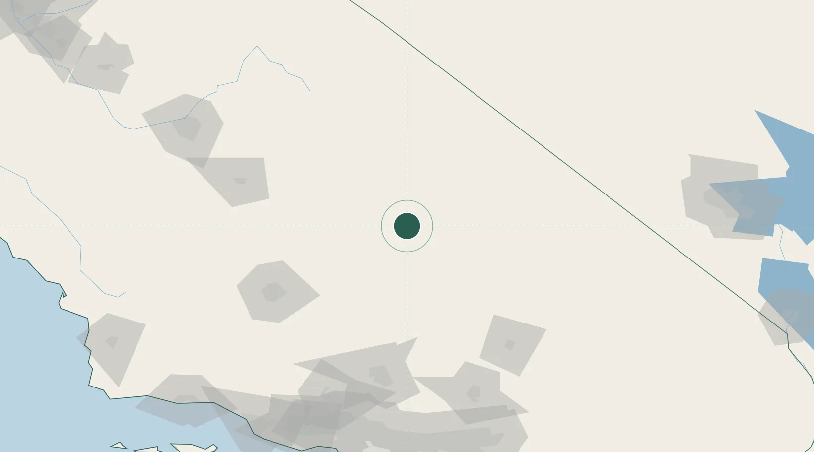
Place type
Populated place
Region
California
Time zone
America/Los_Angeles
Elevation
954 m
Location
Nearby Logistics Neighbours
Cities
- 1Olancha38 km
- 2Searles56 km
- 3Boron102 km
- 4Terra Bella102 km
- 5Ducor102 km
Ports
- 1Ventura223 km
- 2Carpinteria227 km
- 3El Segundo230 km
- 4Port Hueneme231 km
- 5Santa Barbara234 km
Airports
- 1China Lake Naws (Armitage Field) Airport33 km
- 2California City Municipal Airport88 km
- 3Mojave Air & Space Port100 km
- 4Edwards Air Force Base114 km
- 5Meadows Field118 km
Trade Zones
- 1FTZ No. 276 Kern County118 km
- 2FTZ No. 191 Palmdale152 km
- 3FTZ No. 243 Victorville157 km
- 4FTZ No. 089 Clark County163 km
- 5FTZ No. 170 Clark County163 km
DatabookThe Record of Consolidated Knowledge
United States beyond logistics?