UN/LOCODE hub · United States
USZDY
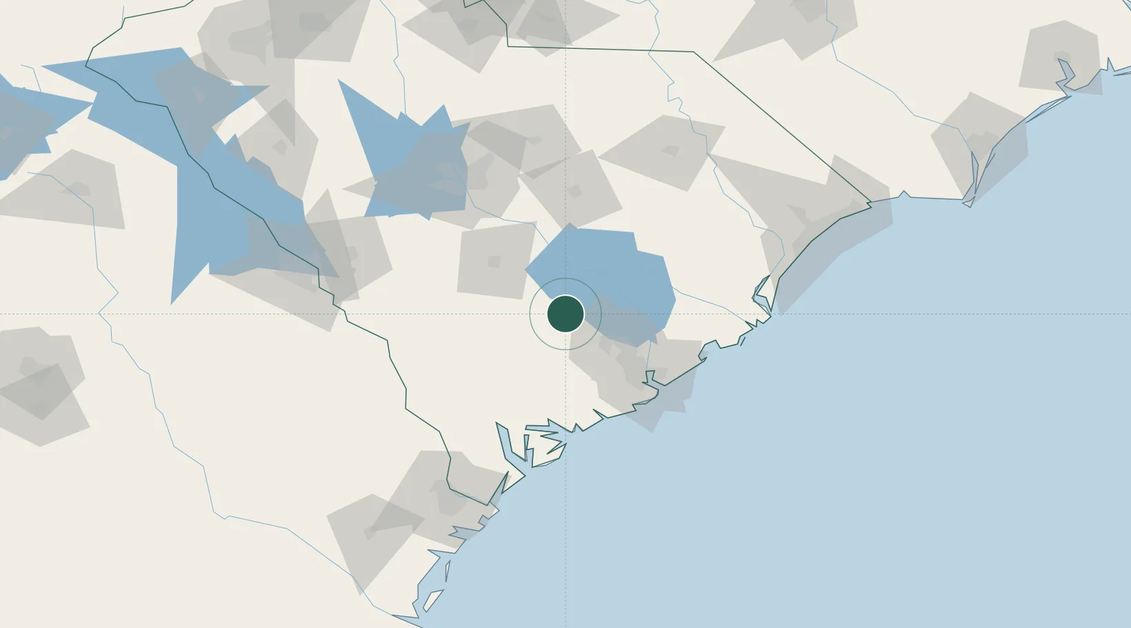
Harleyville
33.2000°, -80.4333°
694
Population
1
Transport functions
Transport Functions
Multimodal
Hub Profile
Place type
Populated place
Region
South Carolina
Population
694
Time zone
America/New_York
Elevation
27 m
Location
Nearby Logistics Neighbours
Cities
- 1Holly Hill13 km
- 2Santee30 km
- 3Ruffin41 km
- 4Ravenel51 km
- 5North Charleston53 km
Ports
- 1Charleston67 km
- 2Beaufort88 km
- 3Port Royal96 km
- 4Georgetown109 km
- 5Savannah138 km
Airports
Trade Zones
- 1FTZ No. 021 Dorchester County30 km
- 2FTZ No. 127 West Columbia109 km
- 3FTZ No. 104 Savannah138 km
- 4FTZ No. 057 Mecklenburg County237 km
- 5FTZ No. 144 Brunswick249 km
DatabookThe Record of Consolidated Knowledge
United States beyond logistics?