Transport Functions
Road
Multimodal
Hub Profile
Place type
Populated place
Region
South Carolina
Population
2,600
Time zone
America/New_York
Elevation
14 m
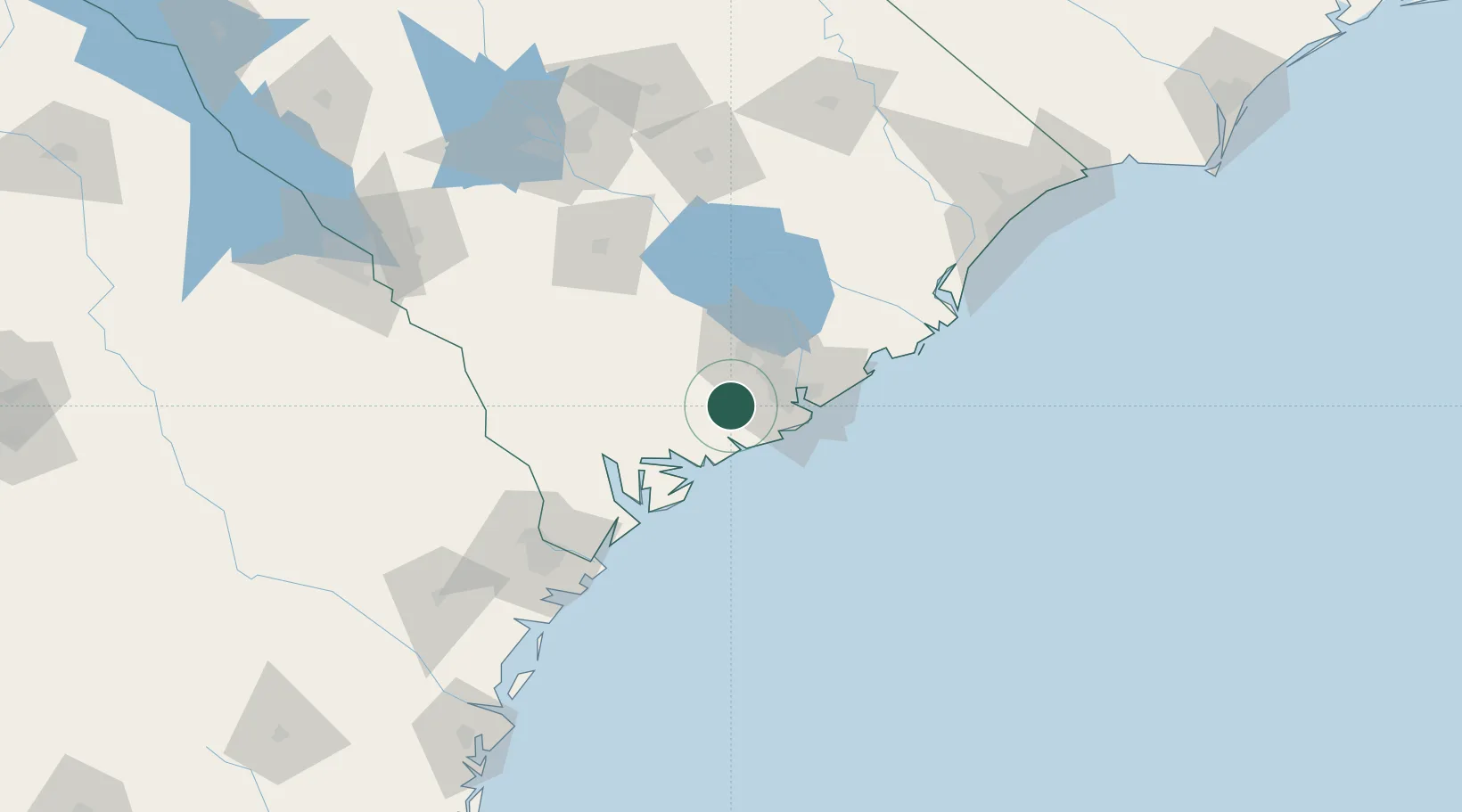
Location
Nearby Logistics Neighbours
Cities
- 1Adams Run11 km
- 2Wadmalaw Island14 km
- 3North Charleston28 km
- 4Charleston Heights28 km
- 5Charleston28 km
Ports
- 1Charleston31 km
- 2Beaufort54 km
- 3Port Royal60 km
- 4Savannah109 km
- 5Georgetown112 km
Airports
Trade Zones
- 1FTZ No. 021 Dorchester County55 km
- 2FTZ No. 104 Savannah109 km
- 3FTZ No. 127 West Columbia159 km
- 4FTZ No. 144 Brunswick215 km
- 5FTZ No. 057 Mecklenburg County288 km
DatabookThe Record of Consolidated Knowledge
United States beyond logistics?