Transport Functions
Port
Hub Profile
Place type
Populated place
Region
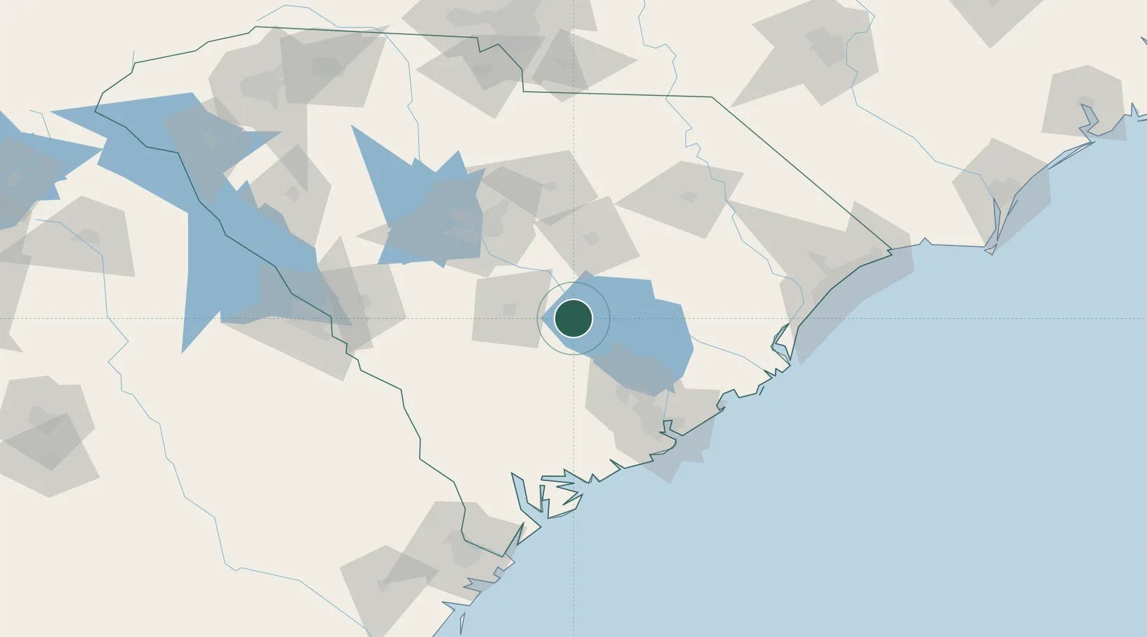
South Carolina
Population
935
Time zone
America/New_York
Elevation
42 m
Location
Nearby Logistics Neighbours
Cities
- 1Holly Hill18 km
- 2Harleyville30 km
- 3Gadsden48 km
- 4Gable53 km
- 5Saint Stephen53 km
Ports
- 1Charleston93 km
- 2Georgetown112 km
- 3Beaufort116 km
- 4Port Royal124 km
- 5Savannah164 km
Airports
Trade Zones
DatabookThe Record of Consolidated Knowledge
United States beyond logistics?