Transport Functions
Port
Rail
Road
Multimodal
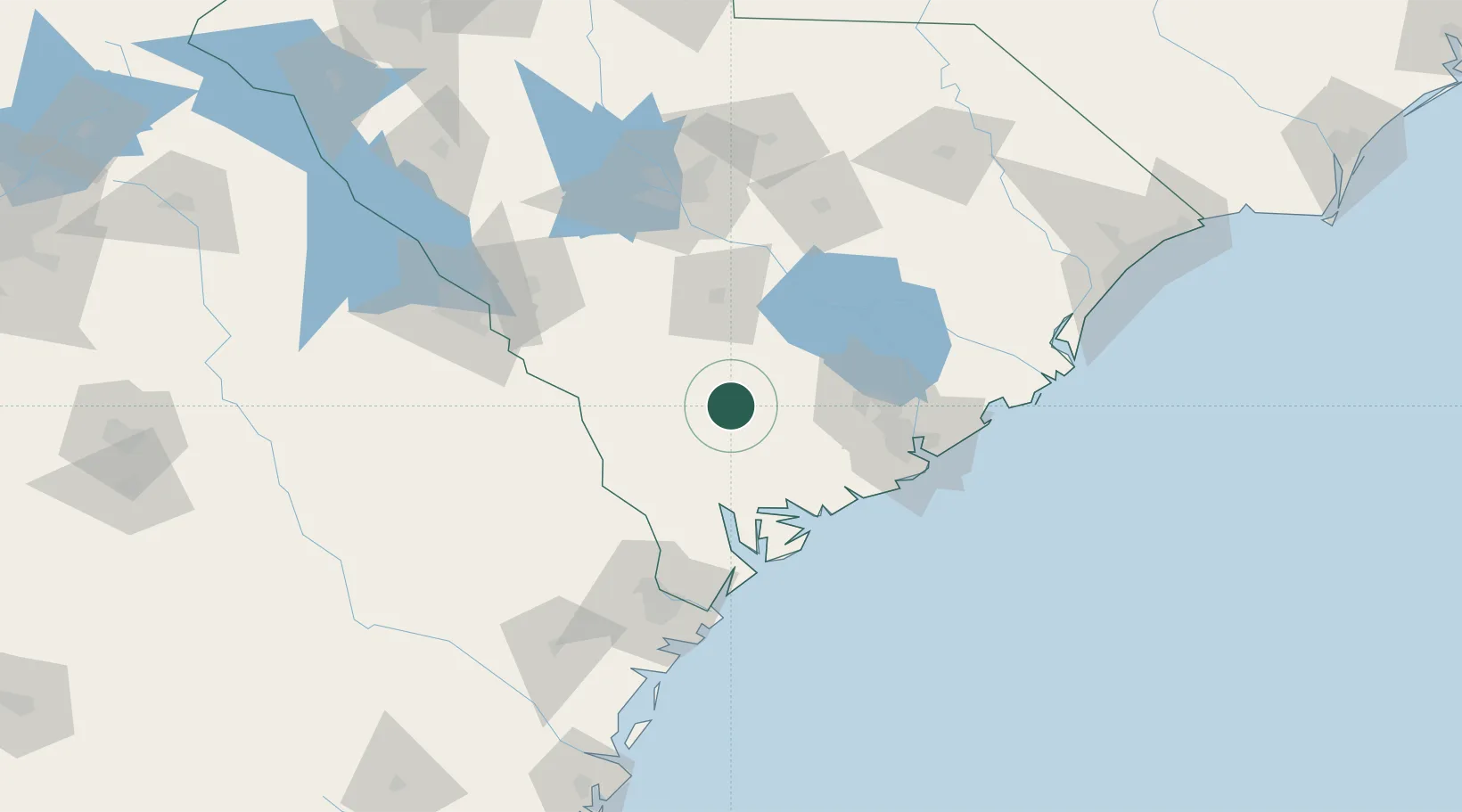
Hub Profile
Place type
Populated place
Region
South Carolina
Time zone
America/New_York
Elevation
22 m
Location
Nearby Logistics Neighbours
Cities
- 1Varnville30 km
- 2Early Branch31 km
- 3Yemassee36 km
- 4Harleyville41 km
- 5Allendale47 km
Ports
- 1Beaufort64 km
- 2Port Royal71 km
- 3Charleston86 km
- 4Savannah105 km
- 5Georgetown147 km
Airports
Trade Zones
- 1FTZ No. 021 Dorchester County12 km
- 2FTZ No. 104 Savannah105 km
- 3FTZ No. 127 West Columbia114 km
- 4FTZ No. 144 Brunswick216 km
- 5FTZ No. 038 Spartanburg County249 km
DatabookThe Record of Consolidated Knowledge
United States beyond logistics?