UN/LOCODE hub · United States
USHHQ
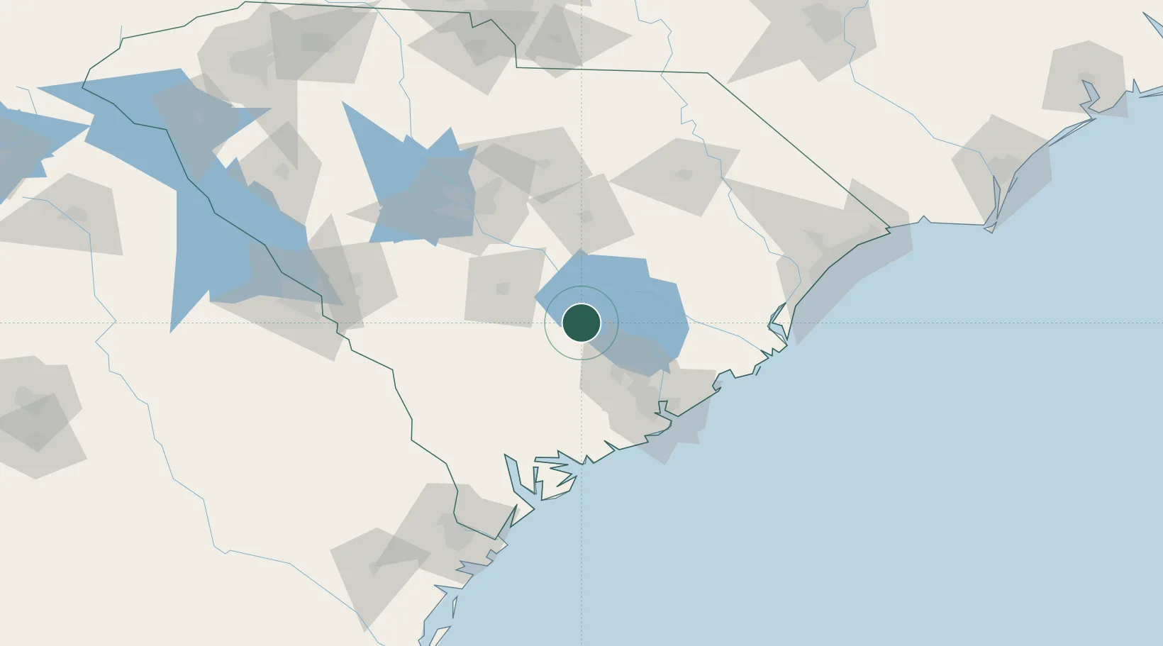
Holly Hill
33.3167°, -80.4000°
1,237
Population
3
Transport functions
Transport Functions
Rail
Road
Multimodal
Hub Profile
Place type
Populated place
Region
South Carolina
Population
1,237
Time zone
America/New_York
Elevation
32 m
Location
Nearby Logistics Neighbours
Cities
- 1Harleyville13 km
- 2Santee18 km
- 3Saint Stephen46 km
- 4Ruffin51 km
- 5Lane54 km
Ports
- 1Charleston75 km
- 2Beaufort101 km
- 3Georgetown104 km
- 4Port Royal109 km
- 5Savannah151 km
Airports
Trade Zones
- 1FTZ No. 021 Dorchester County40 km
- 2FTZ No. 127 West Columbia101 km
- 3FTZ No. 104 Savannah151 km
- 4FTZ No. 057 Mecklenburg County225 km
- 5FTZ No. 038 Spartanburg County244 km
DatabookThe Record of Consolidated Knowledge
United States beyond logistics?