Transport Functions
Rail
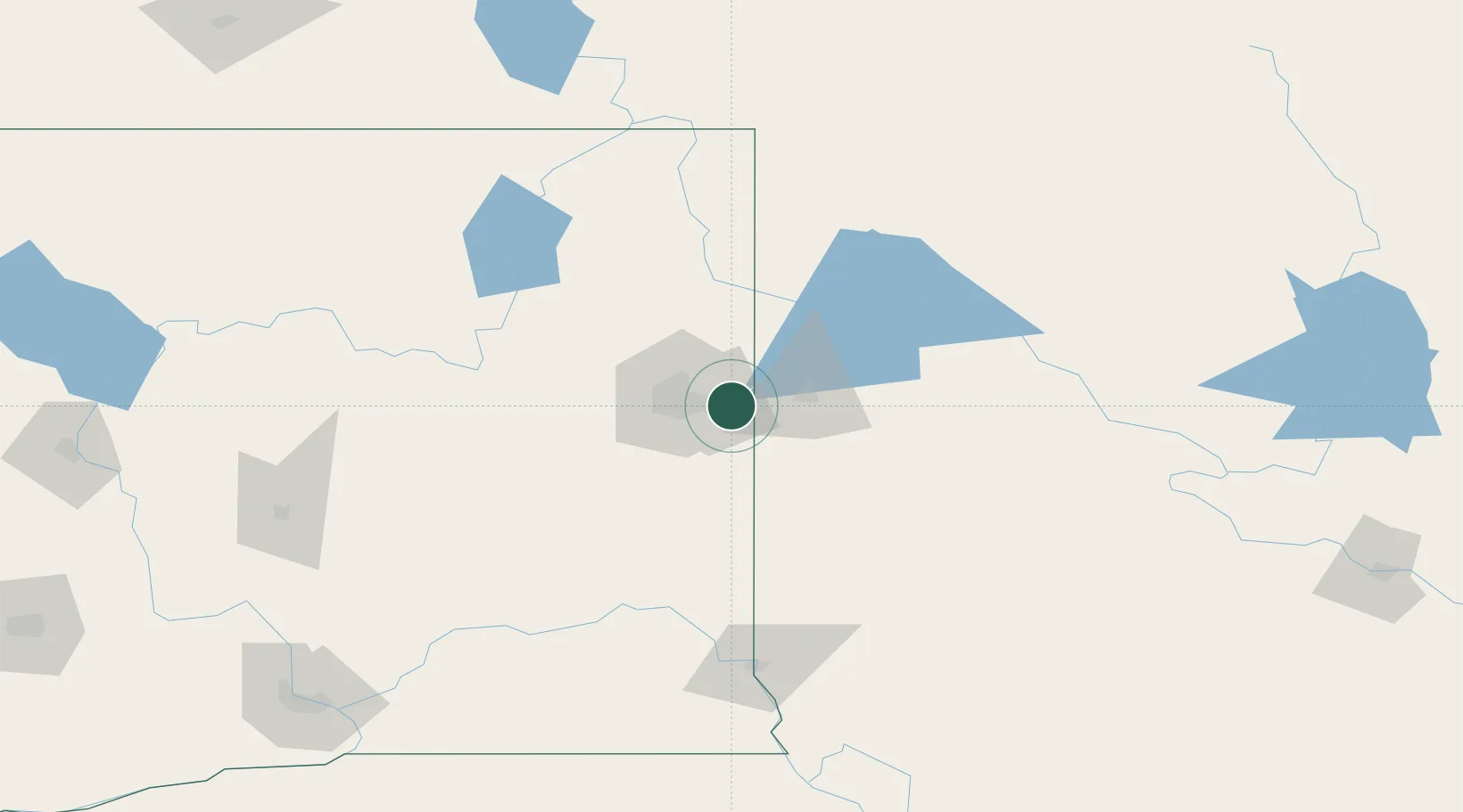
Hub Profile
Place type
Urban district
Region
Washington
Time zone
America/Los_Angeles
Elevation
619 m
Location
Nearby Logistics Neighbours
Cities
- 1Mica14 km
- 2Rathdrum25 km
- 3Hayden Lake30 km
- 4Dalton Gardens30 km
- 5Fairfield32 km
Ports
- 1Everett380 km
- 2The Dalles384 km
- 3Mukilteo386 km
- 4Seattle388 km
- 5Point Wells393 km
Airports
Trade Zones
- 1FTZ No. 224 Spokane25 km
- 2FTZ No. 242 Boundary County123 km
- 3FTZ No. 203 Moses Lake175 km
- 4FTZ No. 187 Toole County375 km
- 5FTZ No. 274 Butte-Silver Bow377 km
DatabookThe Record of Consolidated Knowledge
United States beyond logistics?