Medium airport · United States

Fairchild Air Force BaseKSKA

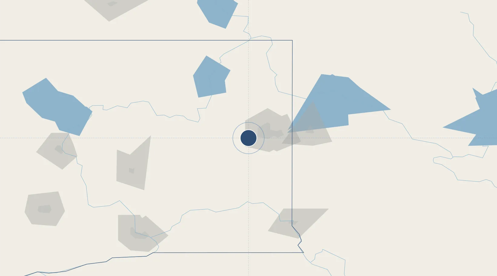
47.6151°, -117.6560°
13,899 ft
Longest runway
1
Runways
2,461 ft
Elevation

Runway & Layout

Fairchild Air Force Base runway & taxiway layout
Runway & taxiway layout — OpenStreetMap (ODbL) / OurAirports

Radio Frequencies

ATIS
25.762 MHz
TWR
126.2 MHz
GND
121.85 MHz
A/D
123.75 MHz
SPOKANE APP/DEP
OPS
29.37 MHz
WASHINGTON ANG OPS
PMSV
23.48 MHz
PMSV METRO
POST
31.1 MHz
COMD POST
PTD
130 MHz
OurAirports

Navaids

SKA TACAN Fairchild 111.40 MHz
OurAirports

Runways · 1

RunwayDimensions SurfaceTrue headingLit
05/23 13,899 × 150ft Concrete 067°
OurAirports

Airport Specifications

IATA code
SKA
OurAirports
ICAO code
KSKA
OurAirports
Airport class
Medium airport
OurAirports
Scheduled service
No
OurAirports
Runway surface
Concrete
OurAirports
Served city
Spokane
OurAirports

Location

Location of KSKA
Natural Earth 10m (public domain) · Washington · KSKA · 47.62, -117.66GoogleOSMYandex

Nearby Logistics Neighbours

Airports
  1. 1Spokane International Airport9 km
  2. 2Felts Field26 km
  3. 3Coeur D'Alene Airport - Pappy Boyington Field65 km
  4. 4Pullman-Moscow Regional Airport106 km
  5. 5Grant County International Airport133 km
Nearest neighbours — logibook spatial index (haversine) over the source coordinates
Cities
  1. 1Fairchild Air Force Base3 km
  2. 2Airway Heights7 km
  3. 3Cheney18 km
  4. 4Spangle30 km
  5. 5Mica34 km
Nearest neighbours — logibook spatial index (haversine) over the source coordinates
Ports
  1. 1Everett343 km
  2. 2Mukilteo349 km
  3. 3The Dalles350 km
  4. 4Seattle351 km
  5. 5Point Wells356 km
Nearest neighbours — logibook spatial index (haversine) over the source coordinates
Trade Zones
  1. 1FTZ No. 224 Spokane15 km
  2. 2FTZ No. 203 Moses Lake138 km
  3. 3FTZ No. 242 Boundary County141 km
  4. 4FTZ No. 085 Everett343 km
  5. 5FTZ No. 086 Tacoma360 km
Nearest neighbours — logibook spatial index (haversine) over the source coordinates
DatabookThe Record of Consolidated Knowledge
United States beyond logistics?
Browse databook

All Sources

AirportsOurAirports
Public domain
Portsthe NGA World Port Index
Public domain (US gov)
LocationsUN/LOCODE
UN/LOCODE — free
Trade Zonesthe World Bank SEZ database
CC BY 4.0
Trade ZonesOpen Zone Map
CC BY
InfrastructureOpenStreetMap
ODbL 1.0
← United States airports