UN/LOCODE hub · United States
USRHU
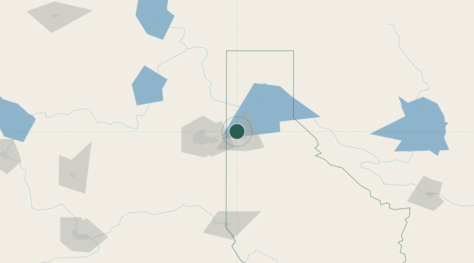
Rathdrum
47.8000°, -116.8833°
7,538
Population
2
Transport functions
Transport Functions
Road
Multimodal
Hub Profile
Place type
Populated place
Region
Idaho
Population
7,538
Time zone
America/Los_Angeles
Elevation
674 m
Location
Nearby Logistics Neighbours
Cities
- 1Hayden Lake8 km
- 2Dalton Gardens11 km
- 3Greenacres25 km
- 4Mica37 km
- 5Mead45 km
Ports
- 1Everett398 km
- 2Mukilteo404 km
- 3Seattle408 km
- 4The Dalles409 km
- 5Point Wells412 km
Airports
Trade Zones
- 1FTZ No. 224 Spokane47 km
- 2FTZ No. 242 Boundary County106 km
- 3FTZ No. 203 Moses Lake199 km
- 4FTZ No. 187 Toole County352 km
- 5FTZ No. 274 Butte-Silver Bow368 km
DatabookThe Record of Consolidated Knowledge
United States beyond logistics?