Medium airport · United States
Pullman-Moscow Regional AirportKPUW
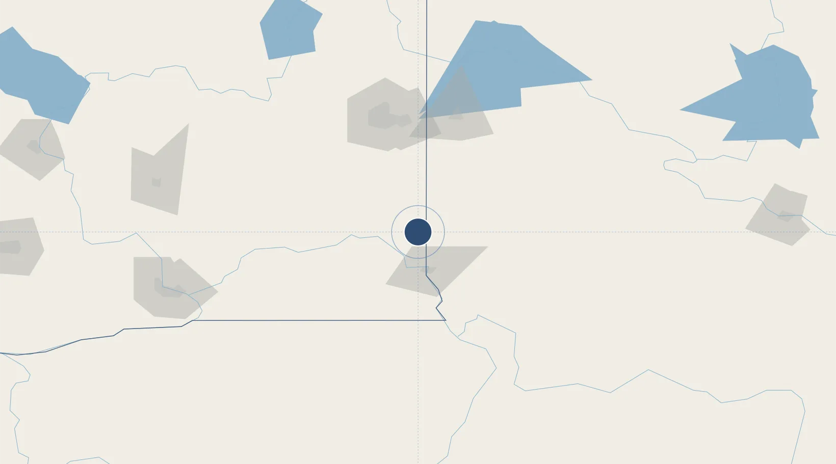
46.7416°, -117.1116°
7,100 ft
Longest runway
1
Runways
2,556 ft
Elevation
Runway & Layout

Radio Frequencies
ASOS
135.675 MHz
CNTR
123.95 MHz
SEATTLE CNTR
RDO
122.6 MHz
SEATTLE RDO
UNIC
122.8 MHz
CTAF/UNICOM
Runways · 1
| Runway | Dimensions | Surface | True heading | Lit |
|---|---|---|---|---|
| 05/23 | 7,100 × 150ft | Asphalt | 065° | ✓ |
Airport Specifications
IATA code
PUW
ICAO code
KPUW
Airport class
Medium airport
Scheduled service
Yes
Runway surface
Asphalt
Served city
Pullman
Location
Nearby Logistics Neighbours
Airports
- 1Lewiston Nez Perce County Airport42 km
- 2Spokane International Airport103 km
- 3Fairchild Air Force Base106 km
- 4Felts Field106 km
- 5Walla Walla Regional Airport115 km
Ports
- 1The Dalles338 km
- 2Seattle406 km
- 3Tacoma407 km
- 4Everett409 km
- 5Mukilteo413 km
Trade Zones
- 1FTZ No. 224 Spokane107 km
- 2FTZ No. 203 Moses Lake175 km
- 3FTZ No. 242 Boundary County224 km
- 4FTZ No. 274 Butte-Silver Bow335 km
- 5FTZ No. 275 Lansing360 km
DatabookThe Record of Consolidated Knowledge
United States beyond logistics?