Transport Functions
Rail
Road
Hub Profile
Place type
Populated place
Region
Washington
Time zone
America/Los_Angeles
Elevation
757 m
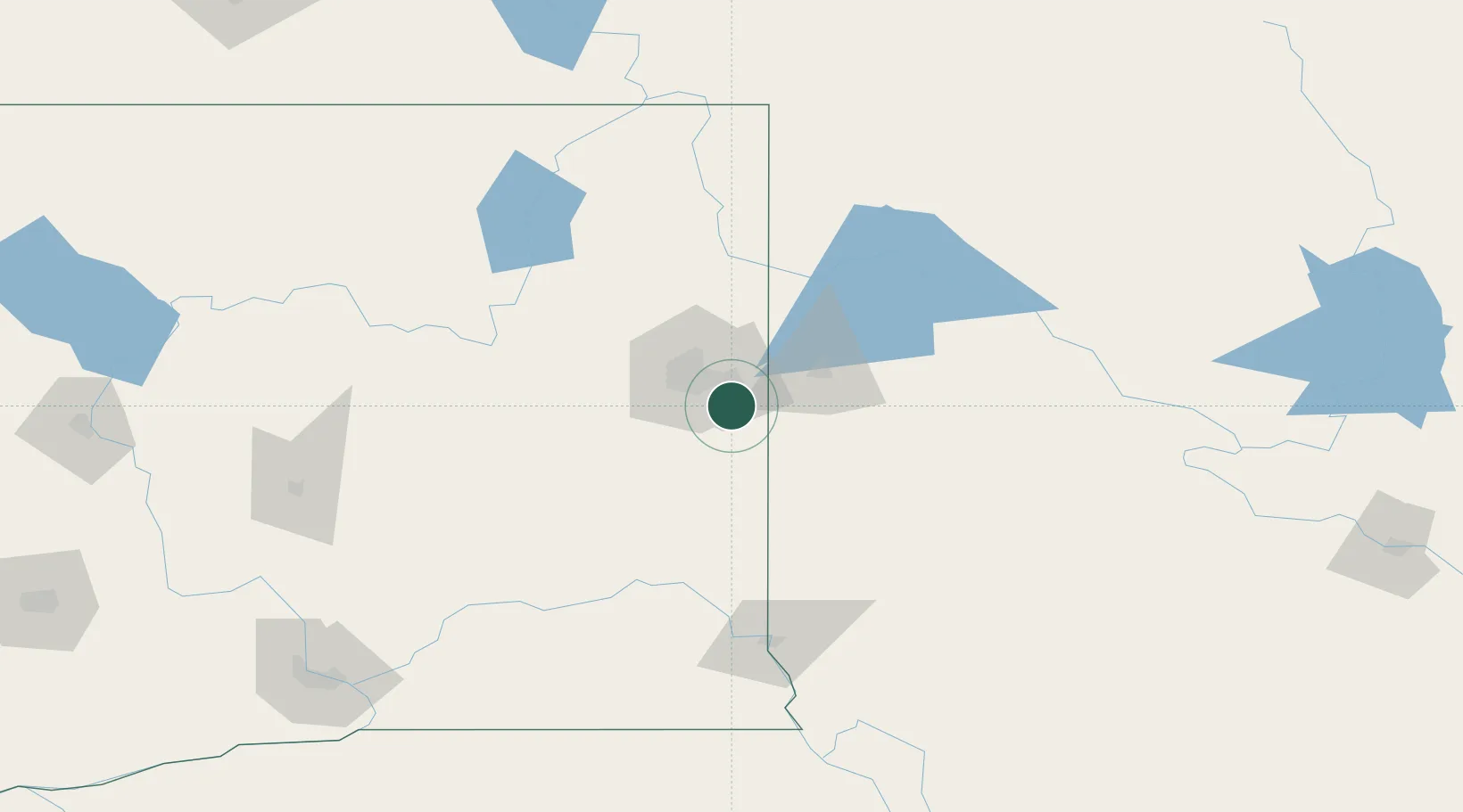
Location
Nearby Logistics Neighbours
Cities
- 1Greenacres14 km
- 2Fairfield19 km
- 3Spangle19 km
- 4Cheney28 km
- 5Airway Heights30 km
Ports
- 1The Dalles373 km
- 2Everett377 km
- 3Mukilteo383 km
- 4Seattle384 km
- 5Point Wells389 km
Airports
Trade Zones
- 1FTZ No. 224 Spokane24 km
- 2FTZ No. 242 Boundary County137 km
- 3FTZ No. 203 Moses Lake167 km
- 4FTZ No. 274 Butte-Silver Bow375 km
- 5FTZ No. 085 Everett377 km
DatabookThe Record of Consolidated Knowledge
United States beyond logistics?