UN/LOCODE hub · United States
USFFE

Fairfield

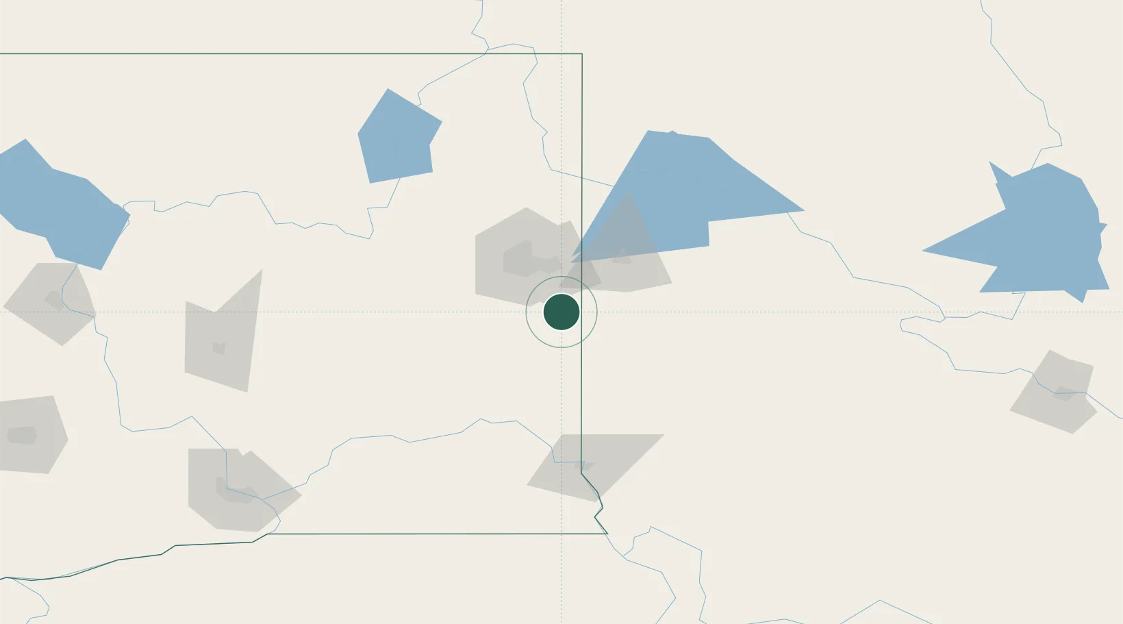
47.3833°, -117.1667°
606
Population
3
Transport functions

Transport Functions

Rail
Road
Multimodal
UN/LOCODE

Hub Profile

Place type
Populated place
GeoNames
Region
Washington
GeoNames
Population
606
GeoNames
Time zone
America/Los_Angeles
GeoNames
Elevation
787 m
GeoNames

Location

Location of USFFE
Natural Earth 10m (public domain) · Washington · USFFE · 47.38, -117.17GoogleOSMYandex

Nearby Logistics Neighbours

Cities
  1. 1Spangle17 km
  2. 2Mica19 km
  3. 3Cheney32 km
  4. 4Greenacres32 km
  5. 5Airway Heights43 km
Nearest neighbours — logibook spatial index (haversine) over the source coordinates
Ports
  1. 1The Dalles366 km
  2. 2Everett384 km
  3. 3Seattle389 km
  4. 4Mukilteo390 km
  5. 5Point Wells395 km
Nearest neighbours — logibook spatial index (haversine) over the source coordinates
Airports
  1. 1Felts Field35 km
  2. 2Spokane International Airport38 km
  3. 3Fairchild Air Force Base45 km
  4. 4Coeur D'Alene Airport - Pappy Boyington Field51 km
  5. 5Pullman-Moscow Regional Airport72 km
Nearest neighbours — logibook spatial index (haversine) over the source coordinates
Trade Zones
  1. 1FTZ No. 224 Spokane40 km
  2. 2FTZ No. 242 Boundary County154 km
  3. 3FTZ No. 203 Moses Lake166 km
  4. 4FTZ No. 274 Butte-Silver Bow364 km
  5. 5FTZ No. 085 Everett384 km
Nearest neighbours — logibook spatial index (haversine) over the source coordinates
DatabookThe Record of Consolidated Knowledge
United States beyond logistics?
Browse databook

All Sources

LocationsUN/LOCODE
UN/LOCODE — free
LocationsGeoNames
CC BY 4.0
Portsthe NGA World Port Index
Public domain (US gov)
AirportsOurAirports
Public domain
Trade Zonesthe World Bank SEZ database
CC BY 4.0
Trade ZonesOpen Zone Map
CC BY
← United States locations