Transport Functions
Road
Multimodal
Hub Profile
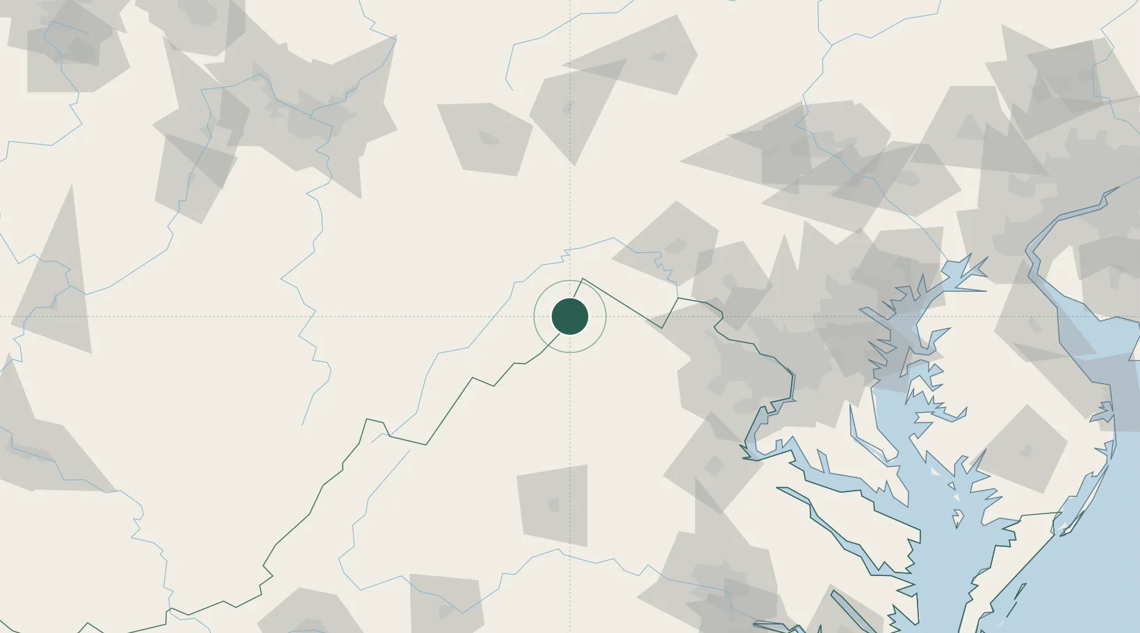
Place type
Populated place
Region
West Virginia
Time zone
America/New_York
Elevation
387 m
Location
Nearby Logistics Neighbours
Cities
- 1Gore8 km
- 2Boyce32 km
- 3Levels32 km
- 4Millwood36 km
- 5Summit Point38 km
Ports
- 1Washington D.C.124 km
- 2Alexandria127 km
- 3Fredericksburg131 km
- 4Baltimore157 km
- 5Annapolis167 km
Airports
Trade Zones
DatabookThe Record of Consolidated Knowledge
United States beyond logistics?