UN/LOCODE hub · United States
USZB6
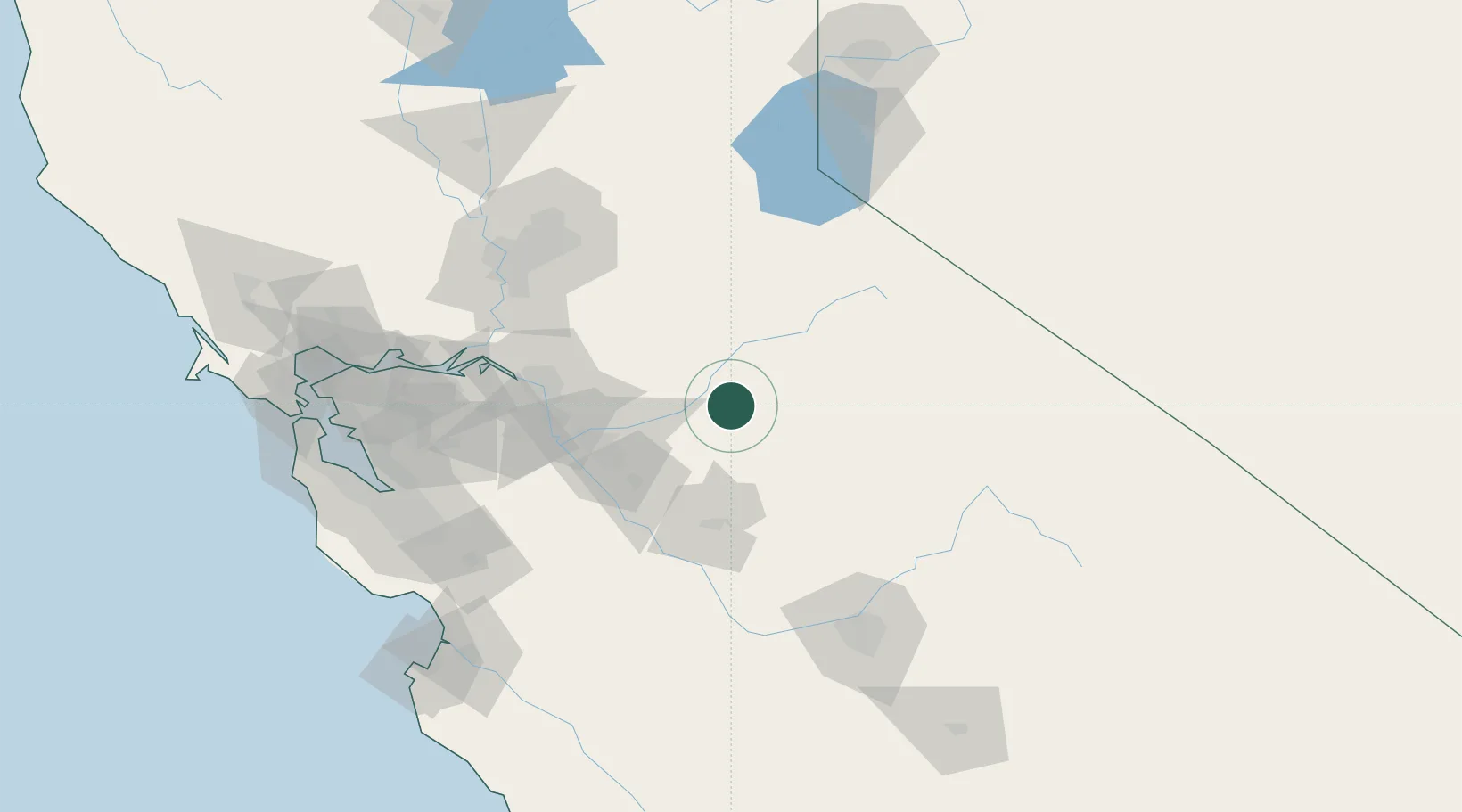
Chinese Camp
37.8667°, -120.4167°
126
Population
1
Transport functions
Transport Functions
Multimodal
Hub Profile
Place type
Populated place
Region
California
Population
126
Time zone
America/Los_Angeles
Elevation
388 m
Location
Nearby Logistics Neighbours
Ports
- 1Stockton78 km
- 2Walnut Grove105 km
- 3Isleton109 km
- 4Courtland113 km
- 5Rio Vista117 km
Airports
Trade Zones
- 1FTZ No. 226 Merced, Madera and Fresno Counties63 km
- 2FTZ No. 231 Stockton80 km
- 3FTZ No. 143 West Sacramento125 km
- 4FTZ No. 018 San Jose142 km
- 5FTZ No. 056 Oakland163 km
DatabookThe Record of Consolidated Knowledge
United States beyond logistics?