Medium airport · United States
Sacramento Mather AirportKMHR
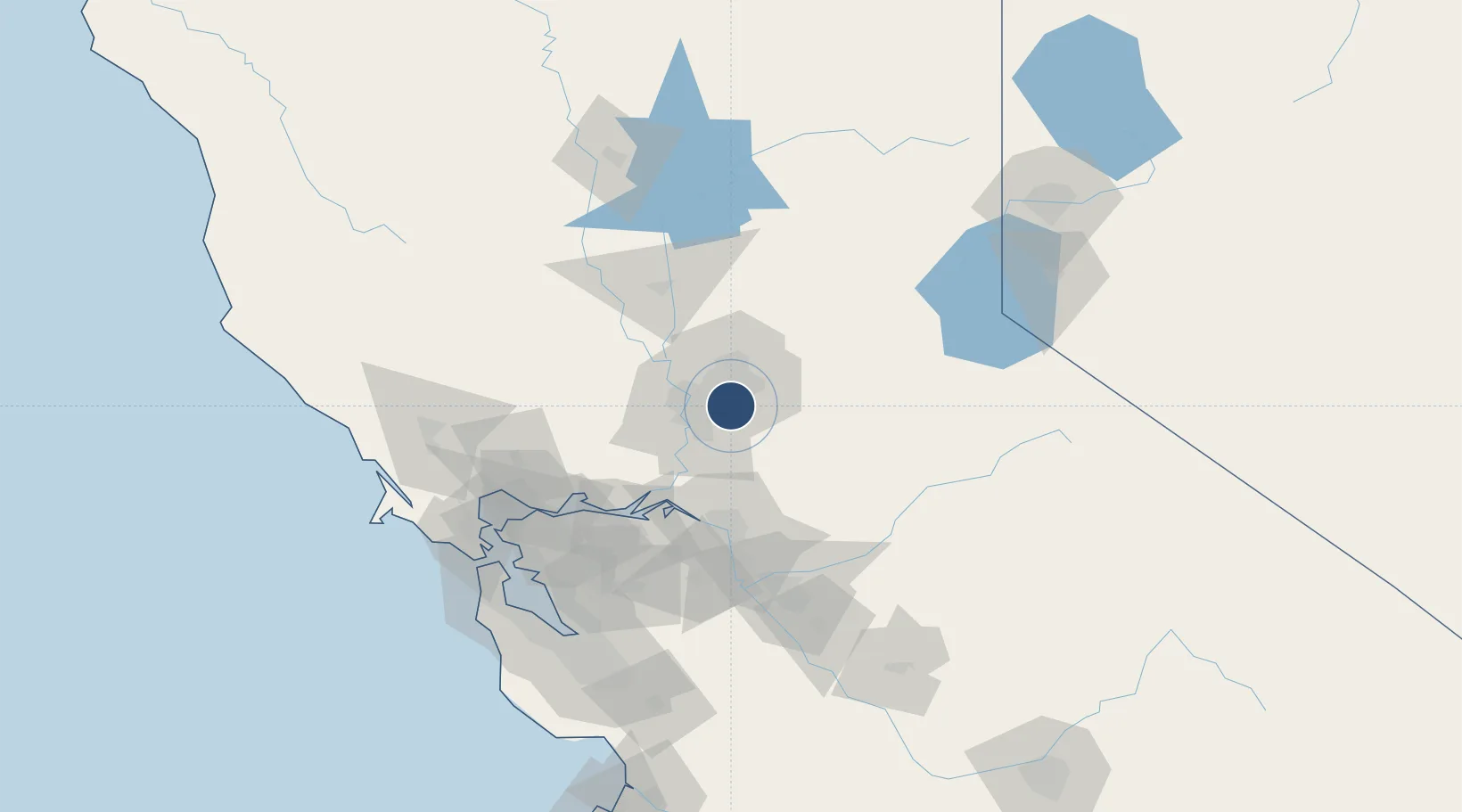
38.5547°, -121.2980°
11,301 ft
Longest runway
2
Runways
98 ft
Elevation
Runway & Layout

Radio Frequencies
ATIS
118.325 MHz
TWR
120.65 MHz
GND
121.85 MHz
CLD
121.85 MHz
CLNC DEL
A/D
127.4 MHz
NORCAL APP/DEP
OPS
34.1 MHz
SPARTAN OPS
UNIC
123.075 MHz
UNICOM
Runways · 2
| Runway | Dimensions | Surface | True heading | Lit |
|---|---|---|---|---|
| 04R/22L | 11,301 × 150ft | Concrete | 054° | ✓ |
| 04L/22R | 6,081 × 150ft | Asphalt | 054° | — |
Airport Specifications
IATA code
MHR
ICAO code
KMHR
Airport class
Medium airport
Scheduled service
No
Runway surface
Concrete
Served city
Sacramento
Location
Nearby Logistics Neighbours
Airports
- 1McClellan Airfield15 km
- 2Sacramento Executive Airport18 km
- 3Sacramento International Airport30 km
- 4Travis Air Force Base64 km
- 5Yuba County Airport65 km
Cities
- 1Gold River6 km
- 2Orangevale14 km
- 3McClellan Air Force Base15 km
- 4Sacramento21 km
- 5El Dorado Hills24 km
Ports
- 1Sacramento18 km
- 2Courtland34 km
- 3Walnut Grove41 km
- 4Isleton51 km
- 5Rio Vista57 km
Trade Zones
- 1FTZ No. 143 West Sacramento20 km
- 2FTZ No. 231 Stockton67 km
- 3FTZ No. 056 Oakland119 km
- 4FTZ No. 003 San Francisco128 km
- 5FTZ No. 018 San Jose145 km
DatabookThe Record of Consolidated Knowledge
United States beyond logistics?