UN/LOCODE hub · United States
US8QA
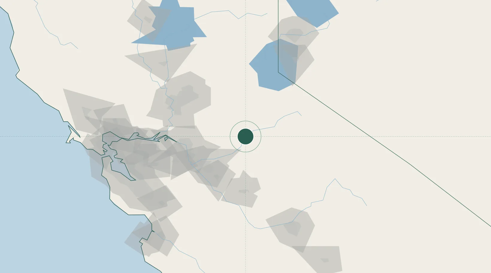
Vallecito
38.0833°, -120.4667°
442
Population
2
Transport functions
Transport Functions
Port
Road
Hub Profile
Place type
Populated place
Region
California
Population
442
Time zone
America/Los_Angeles
Elevation
537 m
Location
Nearby Logistics Neighbours
Cities
- 1Murphys6 km
- 2Tuolumne24 km
- 3Chinese Camp25 km
- 4Valley Springs35 km
- 5Sutter Creek44 km
Ports
- 1Stockton75 km
- 2Walnut Grove93 km
- 3Isleton100 km
- 4Courtland100 km
- 5Sacramento106 km
Airports
Trade Zones
- 1FTZ No. 231 Stockton77 km
- 2FTZ No. 226 Merced, Madera and Fresno Counties86 km
- 3FTZ No. 143 West Sacramento108 km
- 4FTZ No. 018 San Jose150 km
- 5FTZ No. 056 Oakland161 km
DatabookThe Record of Consolidated Knowledge
United States beyond logistics?