UN/LOCODE hub · United States
USZRB
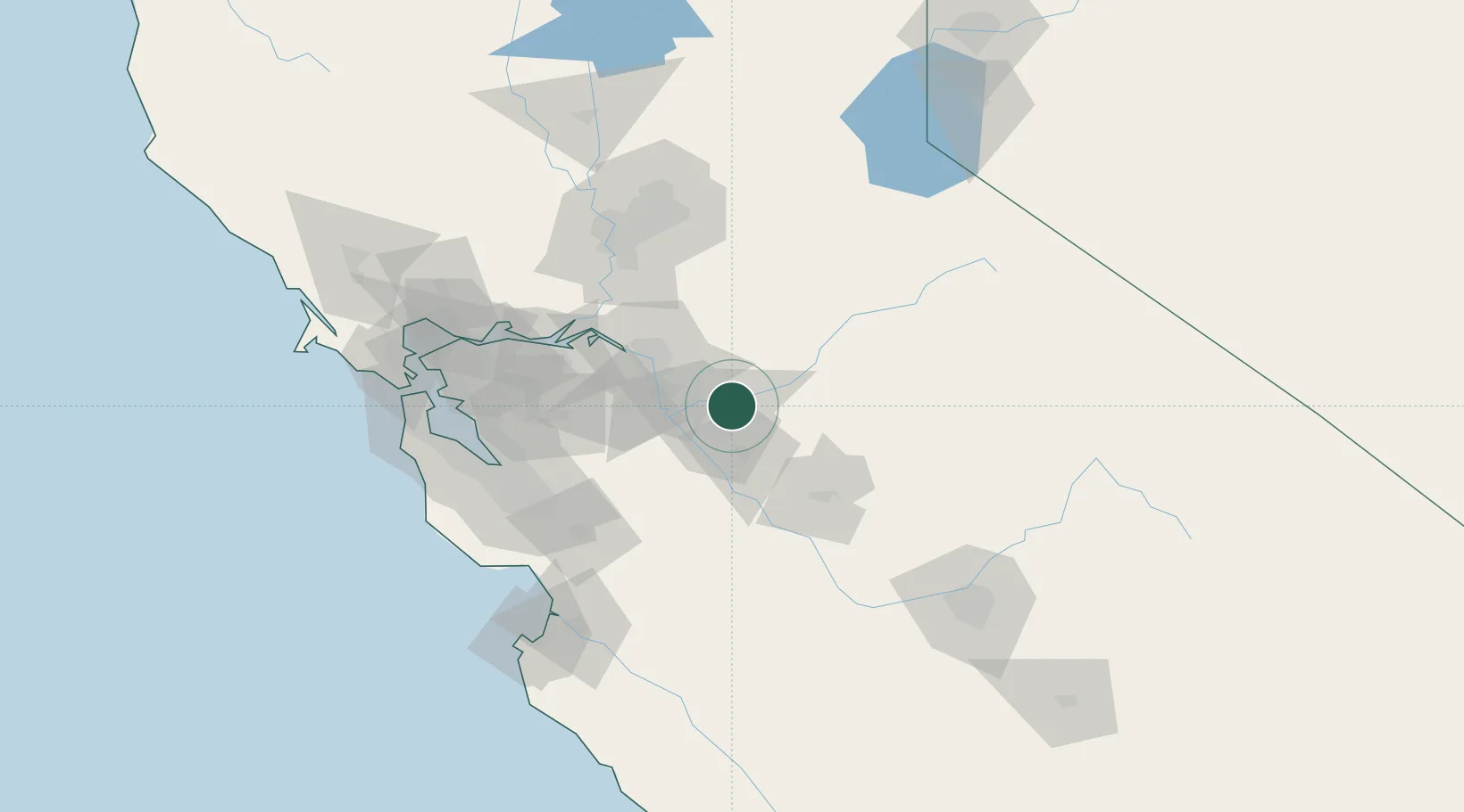
Riverbank
37.7333°, -120.9333°
24,122
Population
4
Transport functions
Transport Functions
Port
Rail
Road
Multimodal
Hub Profile
Place type
Populated place
Region
California
Population
24,122
Time zone
America/Los_Angeles
Elevation
43 m
Location
Nearby Logistics Neighbours
Cities
- 1Salida14 km
- 2Atlanta19 km
- 3Keyes21 km
- 4Farmington21 km
- 5Denair25 km
Ports
- 1Stockton40 km
- 2Walnut Grove76 km
- 3Isleton76 km
- 4Rio Vista82 km
- 5Antioch82 km
Airports
Trade Zones
DatabookThe Record of Consolidated Knowledge
United States beyond logistics?