UN/LOCODE hub · United States
USMS5
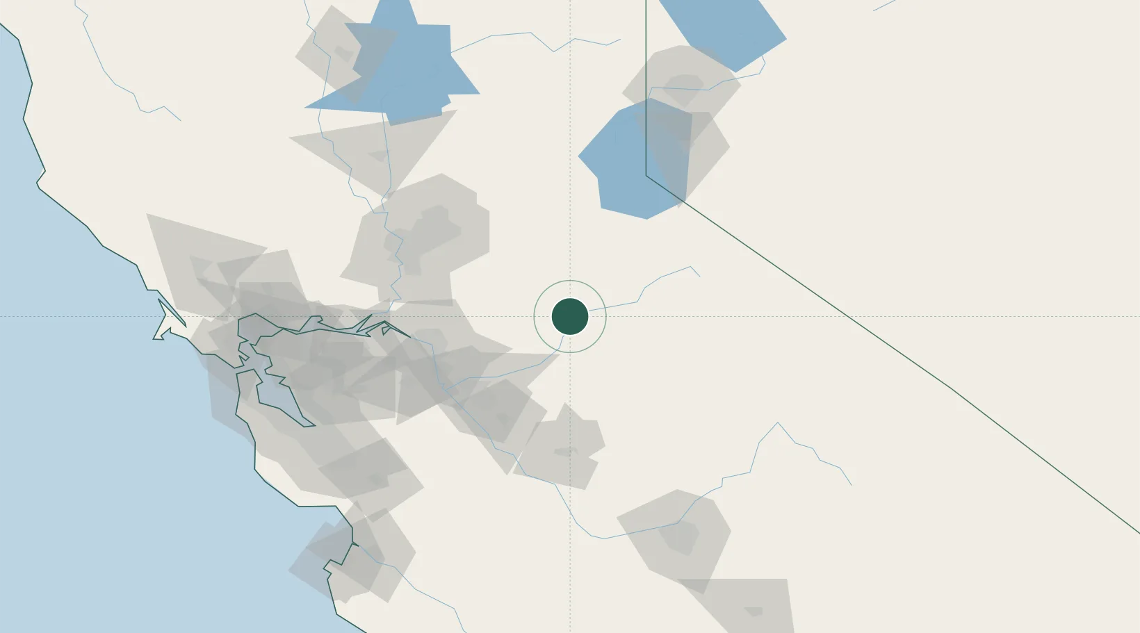
Murphys
38.1333°, -120.4667°
2,213
Population
2
Transport functions
Transport Functions
Road
Multimodal
Hub Profile
Place type
Populated place
Region
California
Population
2,213
Time zone
America/Los_Angeles
Elevation
663 m
Location
Nearby Logistics Neighbours
Cities
- 1Vallecito6 km
- 2Tuolumne28 km
- 3Chinese Camp30 km
- 4Valley Springs33 km
- 5Sutter Creek40 km
Ports
- 1Stockton76 km
- 2Walnut Grove92 km
- 3Courtland99 km
- 4Isleton99 km
- 5Sacramento103 km
Airports
- 1Modesto City Co-Harry Sham Field71 km
- 2Stockton Metropolitan Airport73 km
- 3Castle Airport84 km
- 4Sacramento Mather Airport86 km
- 5Lake Tahoe Airport94 km
Trade Zones
- 1FTZ No. 231 Stockton78 km
- 2FTZ No. 226 Merced, Madera and Fresno Counties92 km
- 3FTZ No. 143 West Sacramento105 km
- 4FTZ No. 018 San Jose153 km
- 5FTZ No. 056 Oakland162 km
DatabookThe Record of Consolidated Knowledge
United States beyond logistics?