Channel & Berth Profile
Pilotage, Tugs & Services
Pilotage compulsoryYES
Pilotage availableYES
Potable waterYES
Diesel bunkersYES
Facilities & Capabilities
Container—
Ro-Ro—
Liquid bulk—
Dry bulk—
Oil terminal—
Break bulk—
Dry dock—
RepairsNO
Bunkering—
Rail link—
Dangerous cargo—
ISPS security—
Harbour Specifications
Harbour size
Very Small
Harbour type
River (Natural)
Shelter
Excellent
Water body
North Pacific Ocean
Tidal range
1.2 m
Overhead limit
Yes
Pilotage
Yes
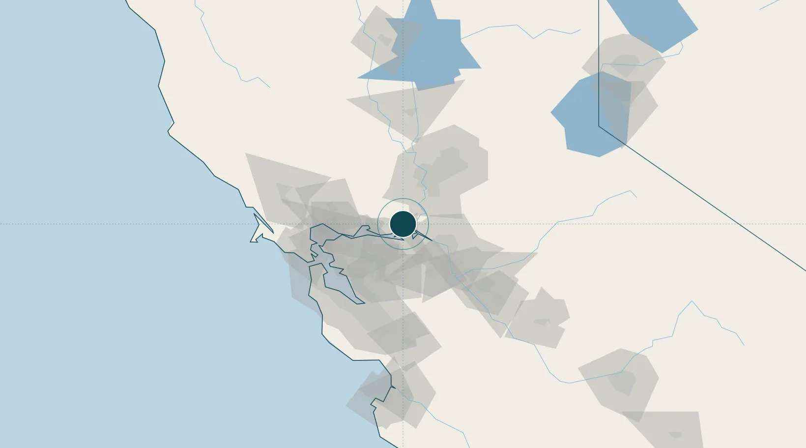
Location
Nearby Logistics Neighbours
Ports
- 1Isleton9 km
- 2Antioch17 km
- 3Walnut Grove19 km
- 4Pittsburg21 km
- 5Courtland24 km
Cities
- 1Walnut Grove19 km
- 2Thornton26 km
- 3Bay Point26 km
- 4Port Chicago30 km
- 5Clayton32 km
Airports
- 1Travis Air Force Base24 km
- 2Buchanan Field36 km
- 3Sacramento Executive Airport44 km
- 4Stockton Metropolitan Airport50 km
- 5Sacramento Mather Airport57 km
Trade Zones
- 1FTZ No. 231 Stockton40 km
- 2FTZ No. 143 West Sacramento50 km
- 3FTZ No. 056 Oakland63 km
- 4FTZ No. 003 San Francisco72 km
- 5FTZ No. 018 San Jose92 km
DatabookThe Record of Consolidated Knowledge
United States beyond logistics?