Medium airport · United States
Stockton Metropolitan AirportKSCK
37.8933°, -121.2381°
10,245 ft
Longest runway
2
Runways
33 ft
Elevation
Runway & Layout

Radio Frequencies
ATIS
118.25 MHz
TWR
120.3 MHz
GND
121.9 MHz
APP
123.85 MHz
NORCAL APP
DEP
125.1 MHz
NORCAL DEP
CTAF
120.3 MHz
OPS
49 MHz
ARNG OPS
RDO
122.65 MHz
RANCHO RDO
UNIC
122.95 MHz
UNICOM
Navaids
ECA VORTAC Manteca 116.00 MHz
SC NDB Jotly 271 kHz
Runways · 2
| Runway | Dimensions | Surface | True heading | Lit |
|---|---|---|---|---|
| 11L/29R | 10,245 × 150ft | Asphalt | 128° | ✓ |
| 11R/29L | 4,448 × 75ft | Asphalt | 128° | — |
Airport Specifications
IATA code
SCK
ICAO code
KSCK
Airport class
Medium airport
Scheduled service
Yes
Runway surface
Asphalt
Served city
Stockton
Location
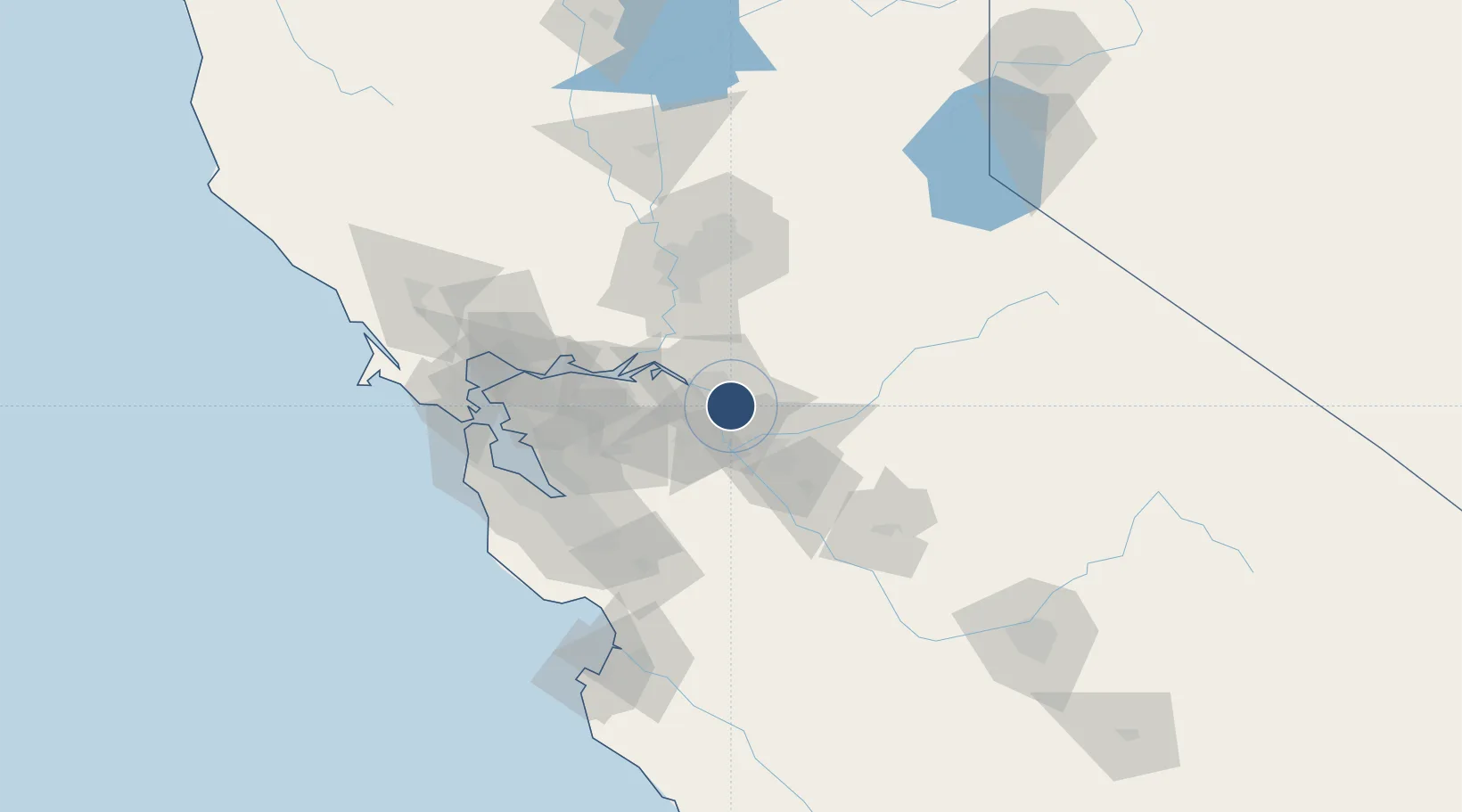
Nearby Logistics Neighbours
Airports
- 1Modesto City Co-Harry Sham Field39 km
- 2Sacramento Executive Airport72 km
- 3Buchanan Field73 km
- 4Travis Air Force Base73 km
- 5Sacramento Mather Airport74 km
Cities
- 1Stockton3 km
- 2French Camp5 km
- 3East Stockton8 km
- 4Collegeville9 km
- 5Atlanta14 km
Ports
- 1Stockton8 km
- 2Isleton44 km
- 3Walnut Grove45 km
- 4Rio Vista50 km
- 5Antioch51 km
Trade Zones
DatabookThe Record of Consolidated Knowledge
United States beyond logistics?