Transport Functions
Multimodal
Hub Profile
Place type
Populated place
Region
Ohio
Population
1,068
Time zone
America/New_York
Elevation
239 m
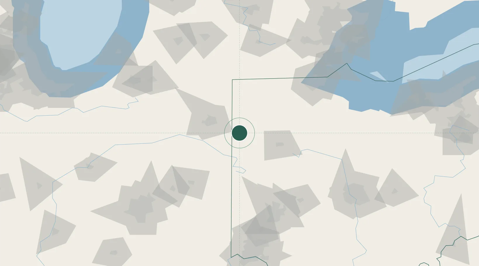
Location
Nearby Logistics Neighbours
Ports
- 1Toledo135 km
- 2Monroe157 km
- 3Port Clinton162 km
- 4Sandusky176 km
- 5Put In Bay177 km
Airports
Trade Zones
- 1FTZ No. 182 Fort Wayne53 km
- 2FTZ No. 151 Findlay85 km
- 3FTZ No. 008 Toledo128 km
- 4FTZ No. 100 Dayton129 km
- 5FTZ No. 125 South Bend161 km
DatabookThe Record of Consolidated Knowledge
United States beyond logistics?