UN/LOCODE hub · United States
USVCC
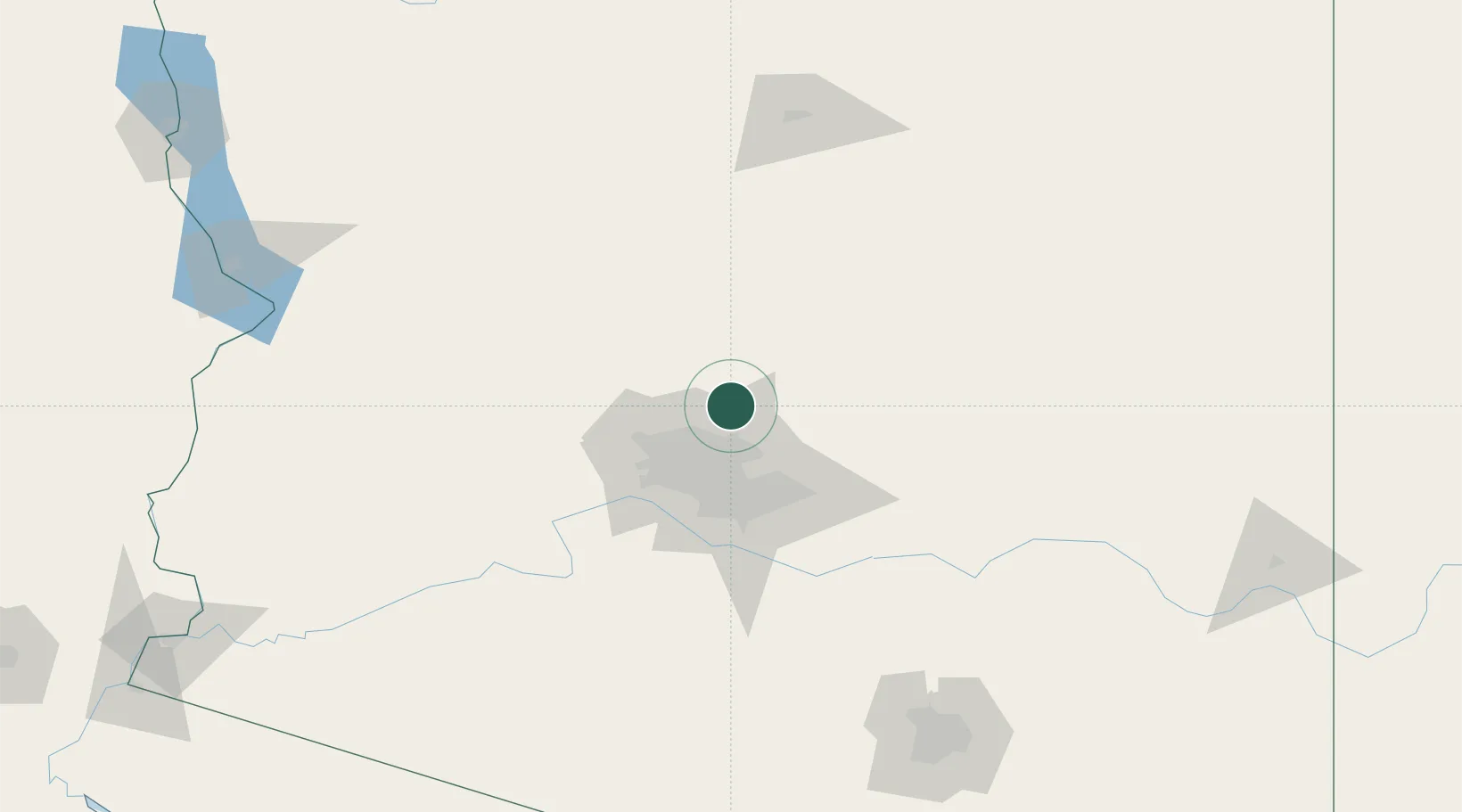
Cave Creek
33.8333°, -111.9333°
5,341
Population
2
Transport functions
Transport Functions
Road
Multimodal
Hub Profile
Place type
Populated place
Region
Arizona
Population
5,341
Time zone
America/Phoenix
Elevation
648 m
Location
Nearby Logistics Neighbours
Cities
- 1New River21 km
- 2Black Canyon City33 km
- 3Paradise Valley33 km
- 4Scottsdale37 km
- 5El Mirage43 km
Ports
- 1Ensenada490 km
- 2San Diego504 km
- 3Rosarito508 km
- 4Newport Beach552 km
- 5Long Beach578 km
Airports
Trade Zones
- 1FTZ No. 075 Phoenix45 km
- 2FTZ No. 277 Western Maricopa County45 km
- 3FTZ No. 221 Mesa47 km
- 4FTZ No. 174 Pima County195 km
- 5FTZ No. 219 Yuma279 km
DatabookThe Record of Consolidated Knowledge
United States beyond logistics?