Channel & Berth Profile
Pilotage, Tugs & Services
Pilotage compulsoryYES
Shore powerYES
Potable waterYES
Diesel bunkersYES
MedicalYES
Garbage disposalYES
Facilities & Capabilities
Container—
Ro-Ro—
Liquid bulk—
Dry bulk—
Oil terminal—
Break bulk—
Dry dock—
Repairs—
BunkeringNO
Rail link—
Dangerous cargo—
ISPS security—
Harbour Specifications
Harbour size
Very Small
Harbour type
Coastal (Natural)
Shelter
Fair
Water body
North Pacific Ocean
Tidal range
1.2 m
Overhead limit
Yes
Pilotage
Yes
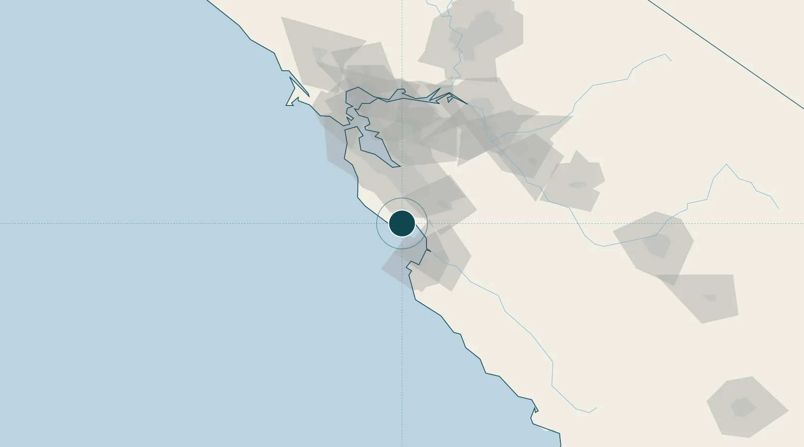
Location
Nearby Logistics Neighbours
Ports
- 1Davenport17 km
- 2Moss28 km
- 3Monterey41 km
- 4Redwood City65 km
- 5Alameda94 km
Cities
- 1Capitola6 km
- 2Felton10 km
- 3Mount Hermon10 km
- 4Corralitos19 km
- 5Watsonville25 km
Airports
Trade Zones
DatabookThe Record of Consolidated Knowledge
United States beyond logistics?