UN/LOCODE hub · United States
USSI7

Sierra Vista

37.1500°, -120.2833°
1
Transport functions

Transport Functions

Port
UN/LOCODE

Hub Profile

Place type
Populated place
GeoNames
Region
California
GeoNames
Time zone
America/Los_Angeles
GeoNames
Elevation
72 m
GeoNames

Location

Location of USSI7
Natural Earth 10m (public domain) · California · USSI7 · 37.15, -120.28GoogleOSMYandex

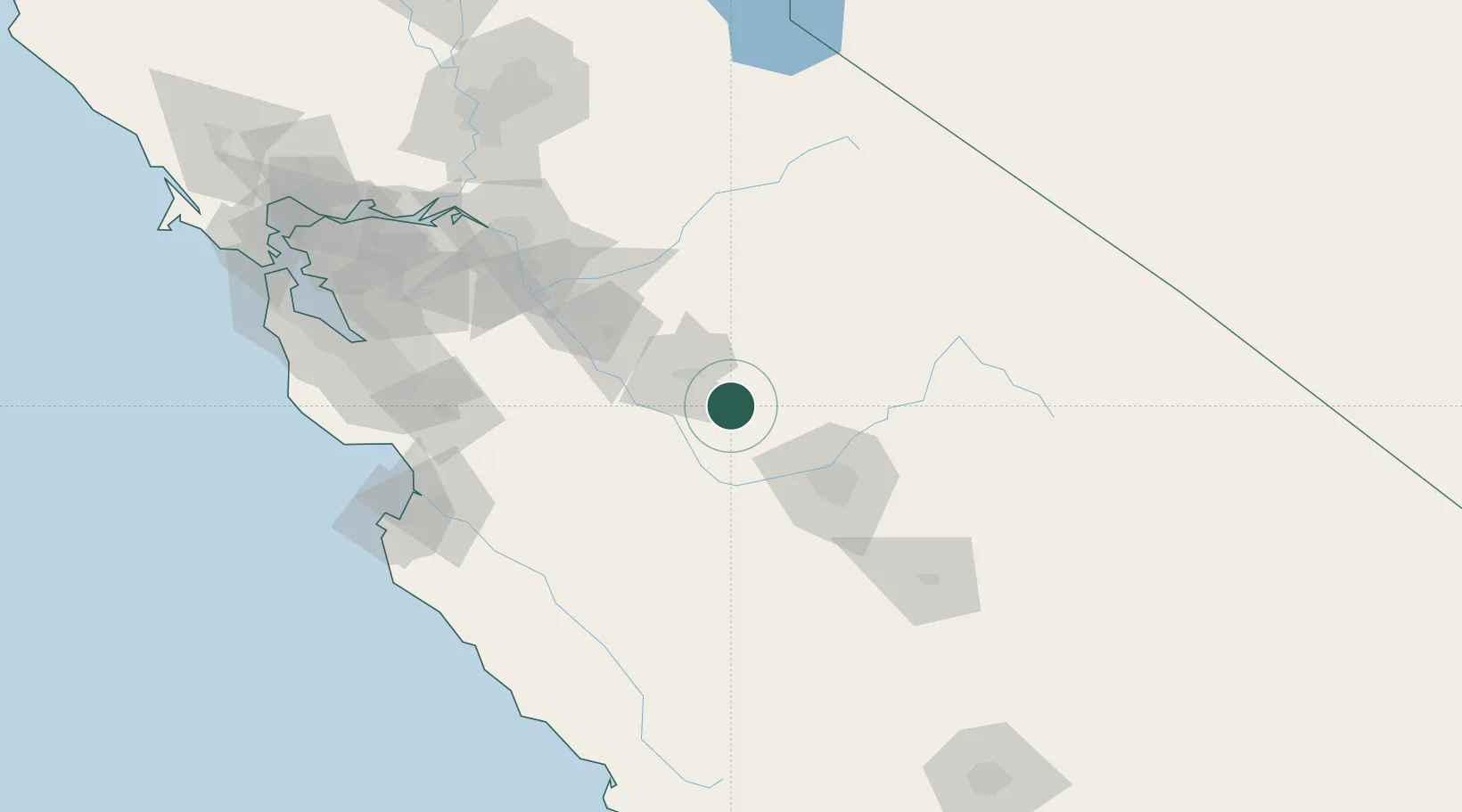
Nearby Logistics Neighbours

Cities
  1. 1Chowchilla5 km
  2. 2Mendota45 km
  3. 3Biola46 km
  4. 4Livingston46 km
  5. 5Hilmar56 km
Nearest neighbours — logibook spatial index (haversine) over the source coordinates
Ports
  1. 1Stockton126 km
  2. 2Moss139 km
  3. 3Monterey154 km
  4. 4Santa Cruz155 km
  5. 5Isleton162 km
Nearest neighbours — logibook spatial index (haversine) over the source coordinates
Airports
  1. 1Merced Regional Macready Field25 km
  2. 2Castle Airport36 km
  3. 3Fresno Yosemite International Airport65 km
  4. 4Modesto City Co-Harry Sham Field79 km
  5. 5Lemoore Naval Air Station (Reeves Field) Airport96 km
Nearest neighbours — logibook spatial index (haversine) over the source coordinates
Trade Zones
  1. 1FTZ No. 226 Merced, Madera and Fresno Counties25 km
  2. 2FTZ No. 231 Stockton128 km
  3. 3FTZ No. 018 San Jose143 km
  4. 4FTZ No. 056 Oakland190 km
  5. 5FTZ No. 143 West Sacramento193 km
Nearest neighbours — logibook spatial index (haversine) over the source coordinates
DatabookThe Record of Consolidated Knowledge
United States beyond logistics?
Browse databook

All Sources

LocationsUN/LOCODE
UN/LOCODE — free
Portsthe NGA World Port Index
Public domain (US gov)
AirportsOurAirports
Public domain
Trade Zonesthe World Bank SEZ database
CC BY 4.0
Trade ZonesOpen Zone Map
CC BY
← United States locations