UN/LOCODE hub · United States
USZ2C

De Soto

32.5833°, -96.8500°
52,486
Population
1
Transport functions

Transport Functions

Multimodal
UN/LOCODE

Hub Profile

Place type
Populated place
GeoNames
Region
Texas
GeoNames
Population
52,486
GeoNames
Time zone
America/Chicago
GeoNames
Elevation
203 m
GeoNames

Location

Location of USZ2C
Natural Earth 10m (public domain) · Texas · USZ2C · 32.58, -96.85GoogleOSMYandex

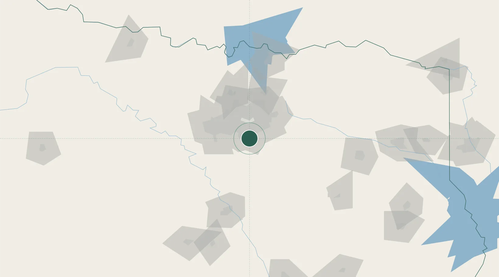
Nearby Logistics Neighbours

Cities
  1. 1Red Oak9 km
  2. 2Cedar Hill9 km
  3. 3Duncanville11 km
  4. 4Cockrell Hill17 km
  5. 5Ferris18 km
Nearest neighbours — logibook spatial index (haversine) over the source coordinates
Ports
  1. 1Deer Park347 km
  2. 2Houston349 km
  3. 3Pasadena355 km
  4. 4Baytown362 km
  5. 5Beaumont383 km
Nearest neighbours — logibook spatial index (haversine) over the source coordinates
Airports
  1. 1Mid-Way Regional Airport15 km
  2. 2Dallas Love Field29 km
  3. 3Dallas Fort Worth International Airport39 km
  4. 4Fort Worth Meacham International Airport55 km
  5. 5NAS Fort Worth JRB / Carswell Field59 km
Nearest neighbours — logibook spatial index (haversine) over the source coordinates
Trade Zones
  1. 1FTZ No. 113 Ellis County35 km
  2. 2FTZ No. 168 Dallas Fort Worth66 km
  3. 3FTZ No. 196 Fort Worth72 km
  4. 4FTZ No. 269 Athens100 km
  5. 5FTZ No. 039 Dallas Fort Worth117 km
Nearest neighbours — logibook spatial index (haversine) over the source coordinates
DatabookThe Record of Consolidated Knowledge
United States beyond logistics?
Browse databook

All Sources

LocationsUN/LOCODE
UN/LOCODE — free
LocationsGeoNames
CC BY 4.0
Portsthe NGA World Port Index
Public domain (US gov)
AirportsOurAirports
Public domain
Trade Zonesthe World Bank SEZ database
CC BY 4.0
Trade ZonesOpen Zone Map
CC BY
← United States locations