UN/LOCODE hub · United States
USRQK
Red Oak
32.5167°, -96.8000°
12,022
Population
2
Transport functions
Transport Functions
Rail
Road
Hub Profile
Place type
Populated place
Region
Texas
Population
12,022
Time zone
America/Chicago
Elevation
185 m
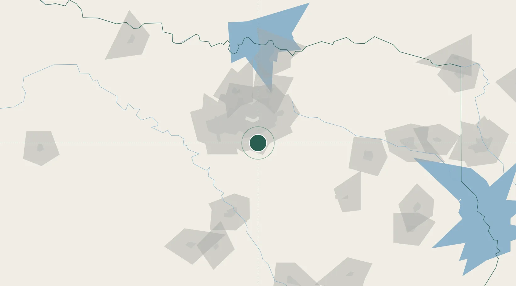
Location
Nearby Logistics Neighbours
Cities
- 1De Soto9 km
- 2Ferris13 km
- 3Wilmer13 km
- 4Cedar Hill16 km
- 5Duncanville20 km
Airports
Trade Zones
- 1FTZ No. 113 Ellis County31 km
- 2FTZ No. 168 Dallas Fort Worth72 km
- 3FTZ No. 196 Fort Worth79 km
- 4FTZ No. 269 Athens93 km
- 5FTZ No. 246 Waco116 km
DatabookThe Record of Consolidated Knowledge
United States beyond logistics?